Route notes checked June 2026.
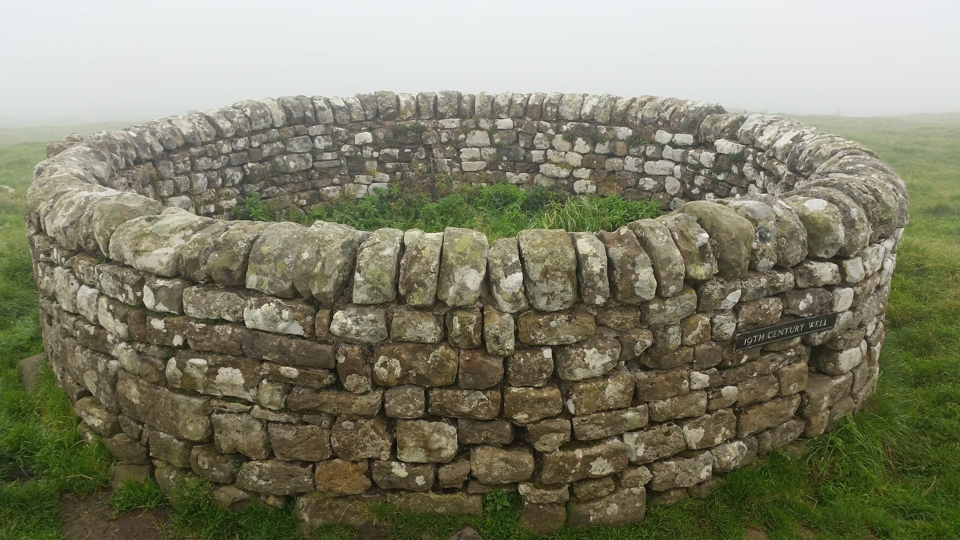
Hadrian's Wall Path follows the line of the Roman frontier across the narrowest point of northern England — 84 miles from Bowness-on-Solway on the west coast to Wallsend on the east, broadly tracking the wall itself for most of its length. Built between AD 122 and AD 130, it's the most substantial Roman remains in Britain and one of the most evocative things you can walk in the UK.
What to expect
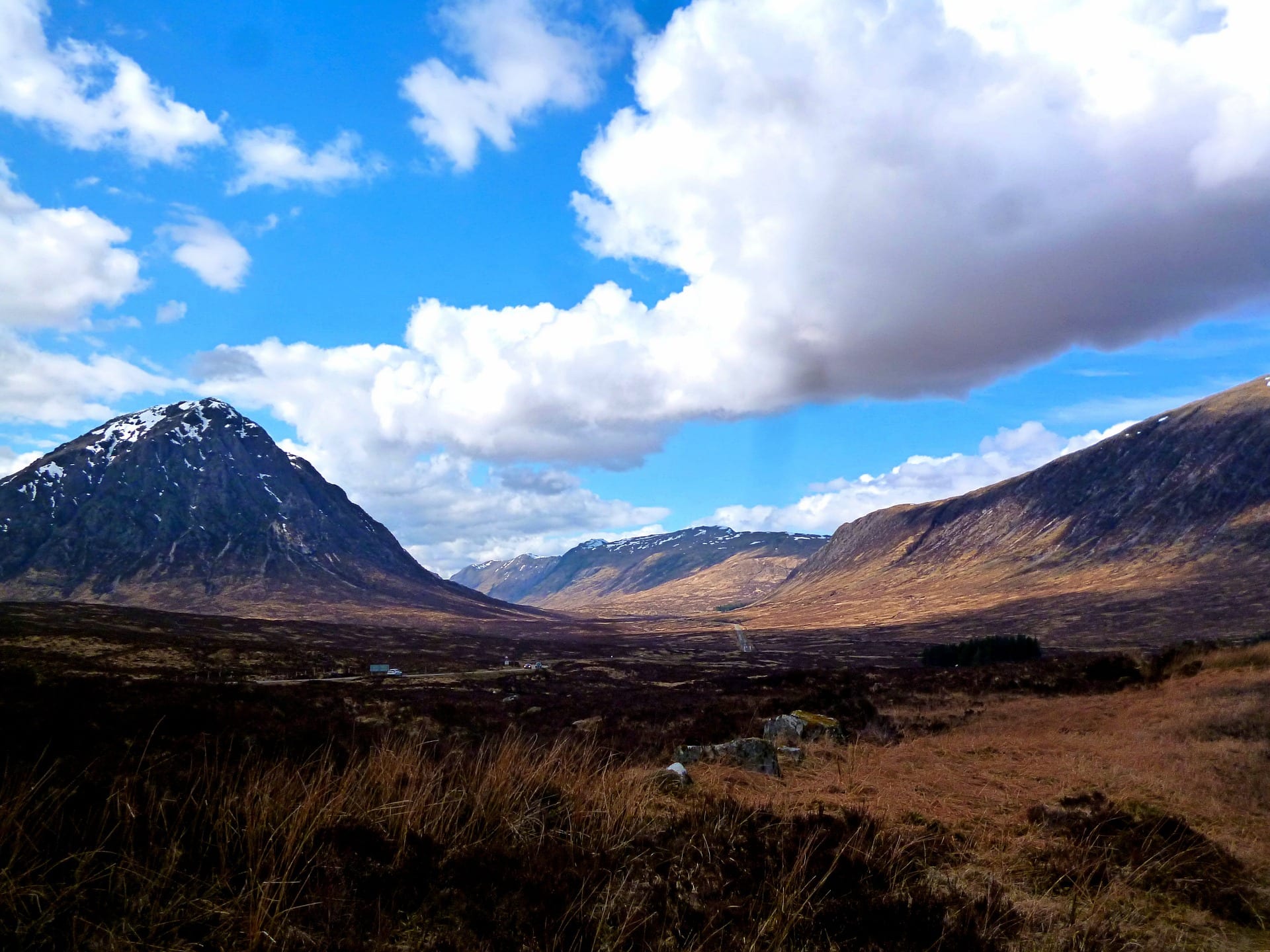
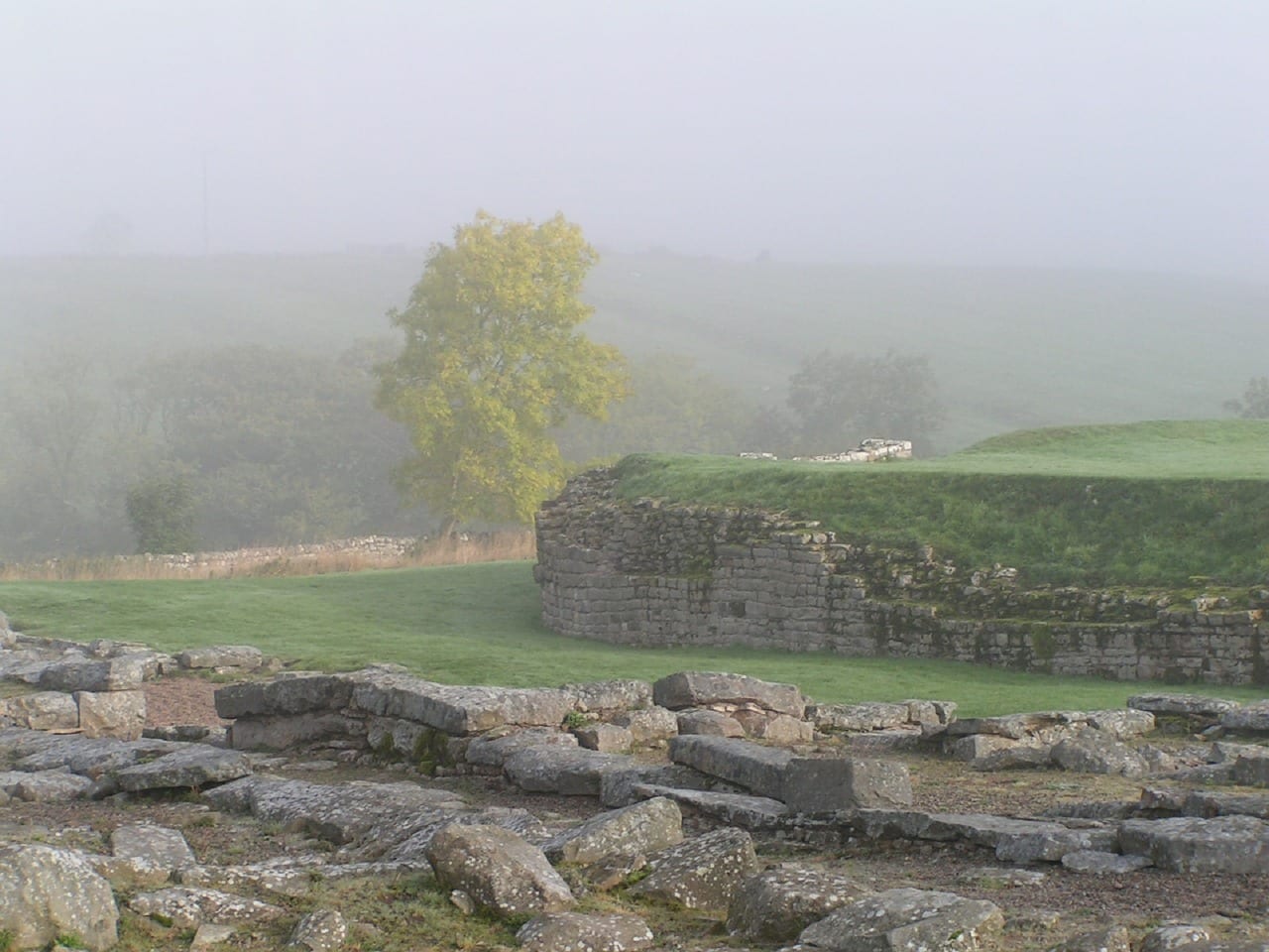
Six to eight days of walking, with the wall most visible (and the path most dramatic) through the central section between Brampton and Chollerford. There the path climbs over the Whin Sill escarpment past Sycamore Gap and the major forts of Vindolanda and Housesteads. The eastern and western ends are gentler — riverside and farmland walking — and the wall itself is intermittent.
Practical notes
Best walked April through October to minimise damage to the underlying archaeology; the path is sometimes closed to walkers in winter to let the ground recover. Accommodation is plentiful in the central section but spread out at either end. Most people walk east to west to keep the prevailing weather behind them, though the iconic central views are slightly better when walked the other way. Day-trippers can pick off the best central 10 miles from Once Brewed.
Stage by stage
Hadrian's Wall Path runs 84 miles coast to coast across the narrowest part of England, from Wallsend on the Tyne in the east to Bowness-on-Solway in the west, following the line of the Roman frontier. It is a trail of history as much as scenery, with the most dramatic walking concentrated in the high central crags. Many walk it west to east to keep the weather behind them; the wall's own story runs the other way. Broken into natural sections (mileages approximate):
| Section | Distance | Days | Character |
|---|---|---|---|
| Wallsend to Heddon-on-the-Wall | ~15 miles | 1 | An urban start along the Tyne through Newcastle, easing out past the riverside and quays to the first upstanding stretch of wall at Heddon. |
| Heddon to Chollerford | ~17 miles | 1–2 | Open farmland alongside the ditch and vallum, the earthworks growing more defined as the country rises towards the Whin Sill. |
| Chollerford to Walton | ~24 miles | 2 | The spectacular heart of the trail — Housesteads, Sycamore Gap and Steel Rigg along the volcanic crags, with the high point at Winshield Crags (around 345m). |
| Walton to Bowness-on-Solway | ~28 miles | 2 | Gentler going through Carlisle and out across the quiet Solway marshes to the western end of the wall. |
Doing it car-free
Both ends are easy to reach by public transport. The eastern start at Wallsend is on the Newcastle Metro, minutes from the city's main-line station; the western end at Bowness is a short bus from Carlisle, which sits on the West Coast Main Line. Both Newcastle and Carlisle are major rail hubs, so a car-free trip is straightforward from either direction.
The middle is well served too. The Tyne Valley railway between Newcastle and Carlisle runs roughly parallel to the route, with stations at Hexham, Haltwhistle and Brampton, and in summer the seasonal AD122 Hadrian's Wall Country bus links the central forts and the crags to both railheads — useful for joining, leaving or skipping a section.
Hadrian's Wall is one of fifteen trails we ranked for car-free access — see the full car-free National Trails index.
Where to stay
The trail towns and villages — Heddon, Chollerford, Once Brewed, Gilsland, Carlisle — offer pubs, B&Bs, bunkhouses and a youth hostel near the crags, with bag-transfer services covering the route. Book ahead for the central section in summer, where beds are limited and demand is high. The National Trail asks walkers to avoid the wettest months where possible, as the soft ground over the central archaeology is easily eroded.
Quick answers
How long does Hadrian's Wall Path take?
Most people take six to eight days for the full 84 miles. It is one of the more achievable National Trails for a first long walk, with no serious navigation and good facilities along the way.
Which is the best section?
The central crags between Chollerford and Walton — Housesteads, Sycamore Gap and Steel Rigg — are the highlight, and the seasonal AD122 bus makes them easy to walk as a day or weekend on their own.
Can you walk it without a car?
Yes, easily. Newcastle and Carlisle bookend the route on the rail network, and the Tyne Valley line and summer AD122 bus give good access to the middle.
When is the best time to walk it?
May to October, both for the weather and to protect the path: the central section over soft ground is vulnerable to erosion in the wettest months, which is why a summer crossing is encouraged.

Train, parking, drive…
- Train
- Newcastle Central (East Coast Mainline from King's Cross, ~3h)
- Return
- Carlisle (West Coast Mainline back to Euston) - or vice versa
- Parking
- Newcastle station car parks; long-stay options at Bowness-on-Solway free
- Postcode
- NE1 5DL
- Drive
- ~5h from London, ~2h from Manchester
- Car-free?
- Easy (AD122 summer bus along the wall)
Transport details are best-effort and worth double-checking on the day — rural buses and station services change with the timetable.
If you’ve got an extra day…
Plan it yourself.
The most authoritative sources we know of for this route — routes, conditions, governing bodies and operators. Open in a new tab.
- Hadrian's Wall Path - National Trails
- National Trails official body for the 15 long-distance National Trails of England and Wales.
- OS Maps Ordnance Survey for paper sheets and the OS Maps app for route planning.
- Mountain Weather Information Service free upland weather forecasts — the standard reference for British hill walkers.
- Long Distance Walkers Association route database covering hundreds of UK long-distance trails beyond the National Trails network.