Route notes checked June 2026.
The South West Coast Path is Britain's longest National Trail — 630 miles of clifftop and beach path tracing the entire peninsula from Minehead in Somerset, around Devon and Cornwall, and finishing at Poole Harbour in Dorset. Originally cut by coastguards looking for smugglers, it's now walked by close to half a million people a year in section, and a couple of hundred in a single push.
What to expect
A full traverse takes most walkers 7-8 weeks. Total ascent and descent across the trail is around 35,000m — comparable to climbing Everest four times. The character shifts constantly: the rolling Exmoor coast at the start, north Cornwall's surf beaches and dramatic cliffs, the wild Land's End peninsula, the gentler south coast through Falmouth and the Helford, then the Jurassic Coast of east Devon and Dorset.
Practical notes
Walkable year-round; spring and early autumn offer the best balance of weather, daylight and accommodation availability. Cliff path closures from erosion are common — check the South West Coast Path Association's diversion list before each stage. Most walkers tackle it in sections; popular shorter walks are the Lizard, the Camel Estuary, and the Jurassic Coast around Lulworth.
Stage by stage
At 630 miles the South West Coast Path is by far the longest National Trail in Britain, running around the entire south-west peninsula from Minehead in Somerset, anticlockwise round Cornwall, to South Haven Point on Poole Harbour in Dorset. With well over 100,000 feet of total ascent it is also one of the most strenuous, despite never climbing a mountain. Almost nobody walks it in one go; broken into its four natural coasts it looks like this (mileages are approximate):
| Section | Distance | Days | Character |
|---|---|---|---|
| Minehead to Bude | ~80 miles | 7–9 | Exmoor's hog's-back cliffs and the high, switchback coast of north Devon — the Valley of Rocks, Clovelly and Hartland's wild headlands. |
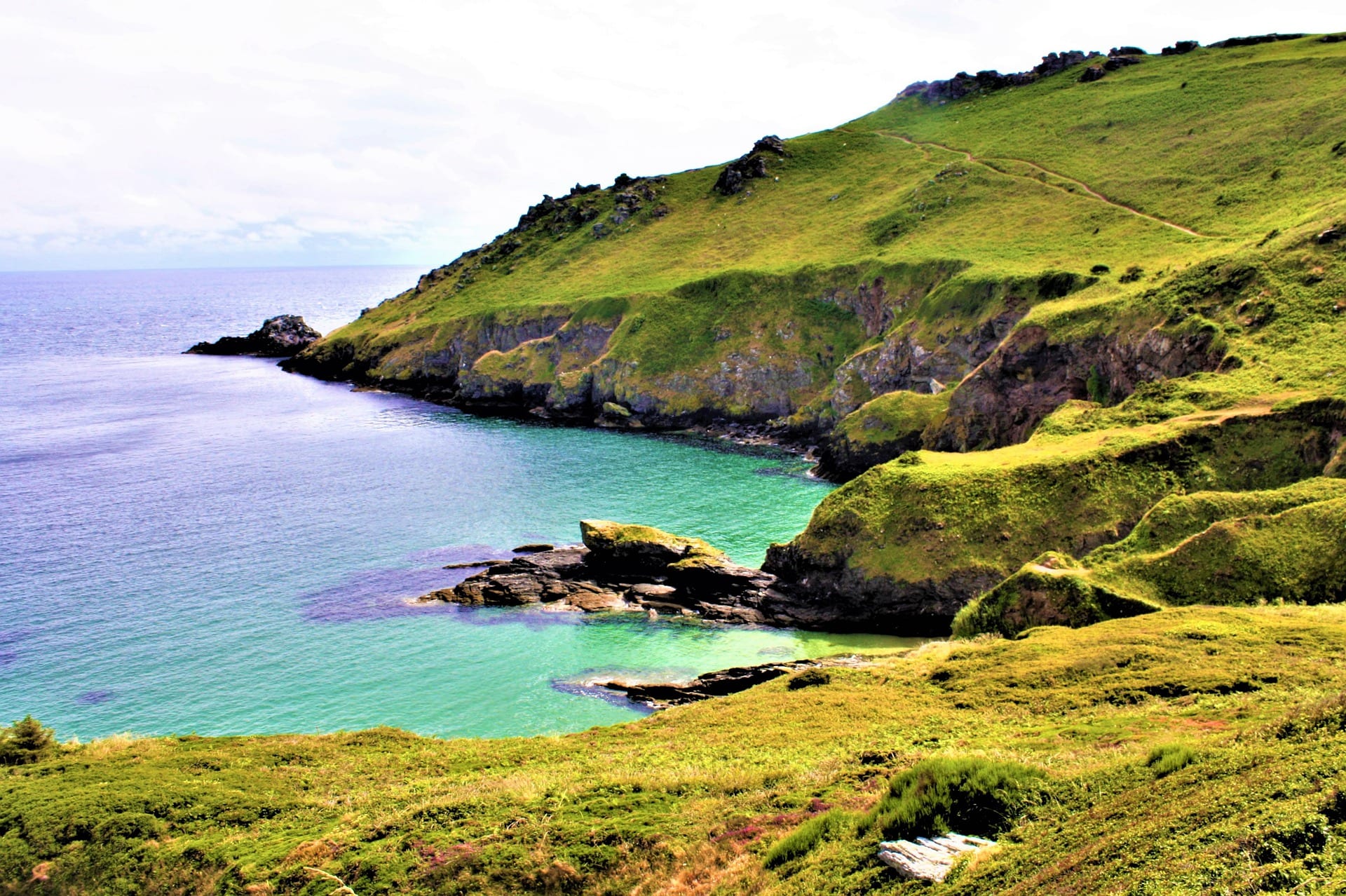
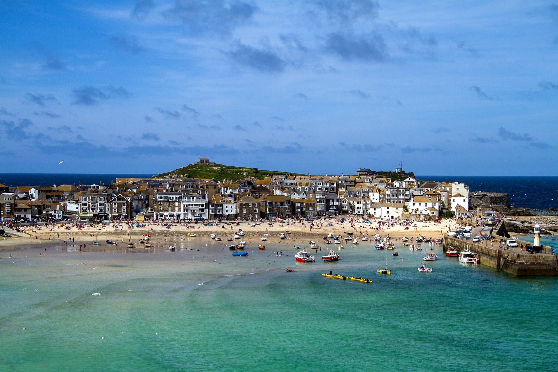
| Bude to Penzance (around Land's End) | ~190 miles | 16–18 | The wild Atlantic edge of Cornwall: surf beaches, old mine workings, the artists' coast around St Ives and the turn at Land's End. |
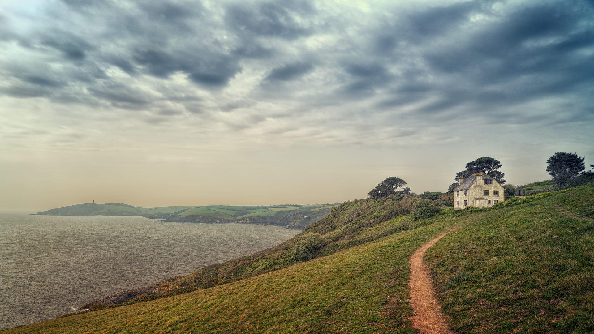
| Penzance to Plymouth | ~120 miles | 9–11 | The Lizard, the wooded creeks of Falmouth and the south Cornish estuaries, several crossed by small seasonal ferries. |
| Plymouth to South Haven Point | ~240 miles | 18–20 | The softer south Devon coast, then Dorset and the Jurassic Coast — Lyme Regis, the Chesil shingle and the chalk stacks — to the finish on Poole Harbour. |
Doing it car-free
For a trail this long the South West Coast Path is remarkably train-friendly, because the Great Western main line from London Paddington to Penzance runs the length of the peninsula and throws off branch lines straight to the coast. Newquay, St Ives, Falmouth, Looe, Paignton and Weymouth all have stations a short walk or bus from the path, which is what makes section-walking the SWCP so practical.
The two ends need a little more effort. Minehead has no main-line station — reach it by train to Taunton and bus, or via the West Somerset heritage railway. The finish at South Haven Point is reached by the chain ferry to Sandbanks and a bus into Poole, which is back on the main line. One thing to plan around: several estuary crossings rely on seasonal ferries, and when they are not running the official detour inland can add many miles.
For how the coast path compares with every other National Trail on car-free access, see our full ranking.
Where to stay
The popular stretches — north Cornwall, the Lizard, the Jurassic Coast — have plenty of B&Bs, pubs, hostels and campsites, but they fill fast in July and August, so book well ahead in peak season. The remoter sections of Exmoor and north Devon have fewer beds and need planning between stops. Bag-transfer and self-guided operators cover most of the route if you would rather not carry a full pack on the steeper coast.
Quick answers
How long does the South West Coast Path take?
Around seven to eight weeks to walk the full 630 miles in one continuous trip. Most people don't: they walk it in week-long or weekend sections over years, using the branch-line stations to get on and off.
Which is the best section?
For a single trip, the north Cornwall coast from Bude to St Ives and the Dorset Jurassic Coast are the two most spectacular stretches — both well served by public transport at each end.
Can you walk it without a car?
Yes, and it's one of the best long trails in Britain for it. The Paddington–Penzance line and its coastal branches put a station within reach of most sections; only the very start at Minehead needs a bus connection.
When is the best time to walk it?
May, June and September are ideal — settled weather, long days and thinner crowds than the school holidays. Spring brings the cliff-top wildflowers the path is famous for.
Train, parking, drive…
- Train
- Minehead (no rail; West Somerset Railway heritage line from Bishops Lydeard; or bus from Taunton)
- Return
- Poole (mainline trains to Waterloo)
- Parking
- Minehead seafront pay-and-display; long-stay options nearby
- Postcode
- TA24 5RB
- Drive
- ~3h30 from London, ~1h from Bristol
- Car-free?
- Possible (Minehead end is bus-reliant)
Transport details are best-effort and worth double-checking on the day — rural buses and station services change with the timetable.
If you’ve got an extra day…
Plan it yourself.
The most authoritative sources we know of for this route — routes, conditions, governing bodies and operators. Open in a new tab.
- South West Coast Path Association
- National Trails official body for the 15 long-distance National Trails of England and Wales.
- OS Maps Ordnance Survey for paper sheets and the OS Maps app for route planning.
- Mountain Weather Information Service free upland weather forecasts — the standard reference for British hill walkers.
- Long Distance Walkers Association route database covering hundreds of UK long-distance trails beyond the National Trails network.