Route notes checked June 2026.
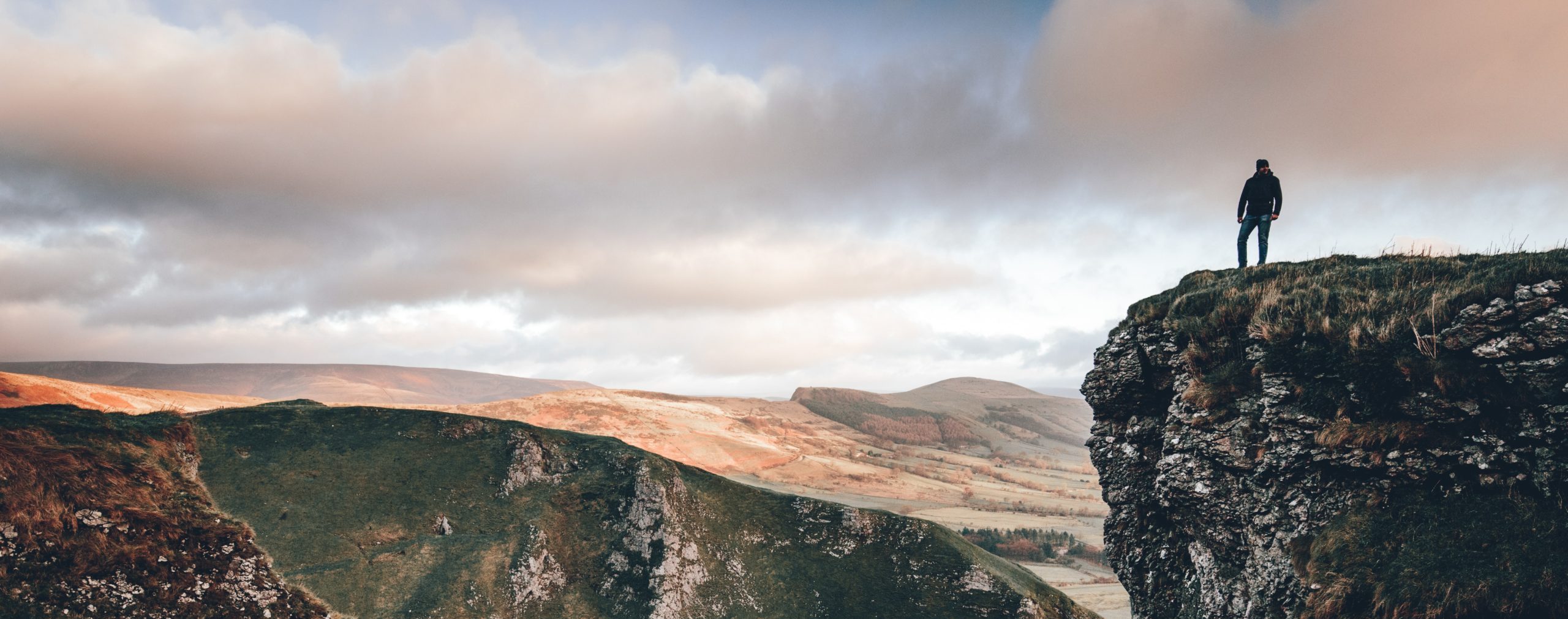
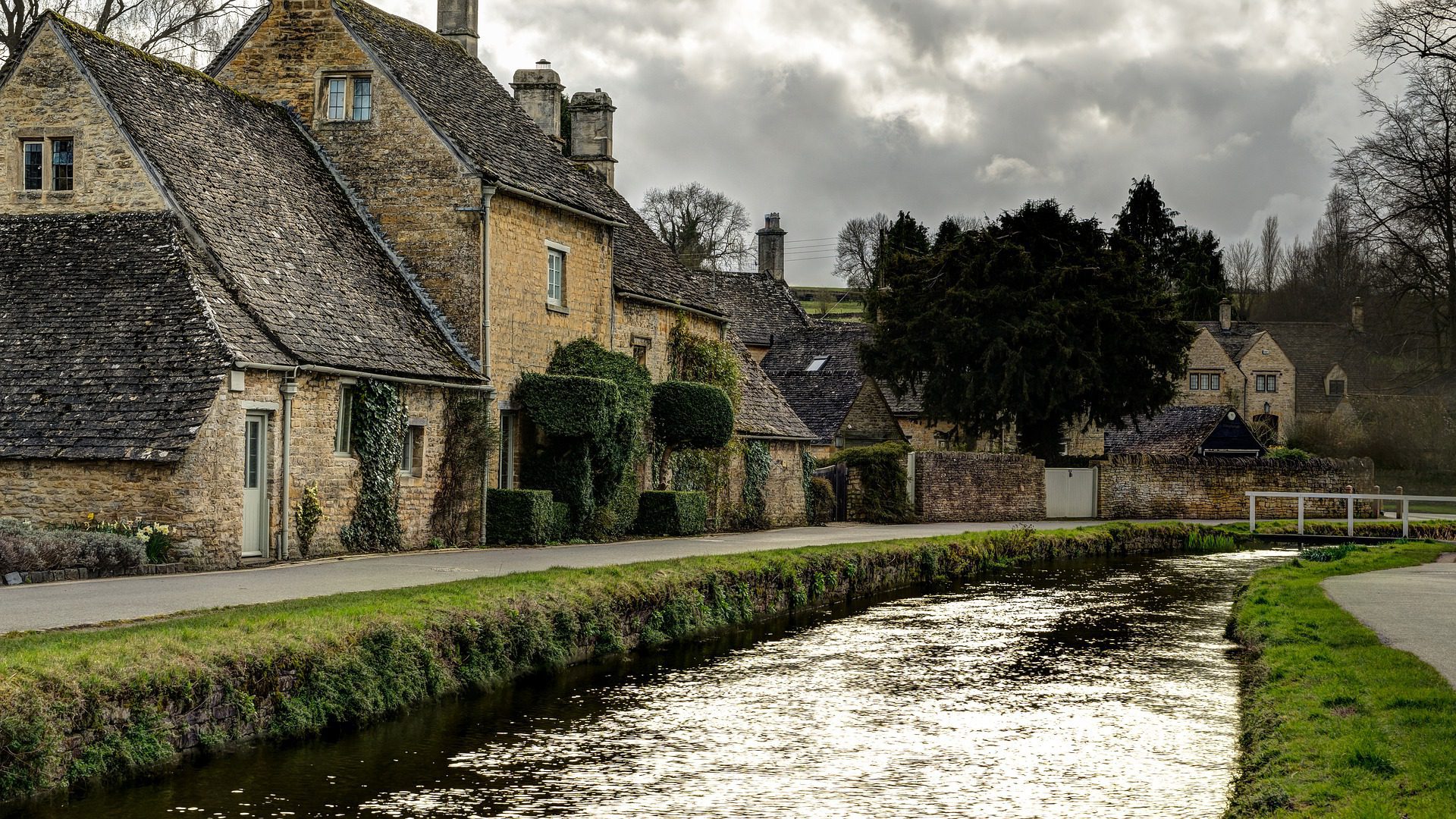
The Cotswold Way runs 102 miles along the western edge of the Cotswold escarpment from Chipping Campden to Bath. It opened as a National Trail in 2007, though sections have been walked for decades. The route gives the classic Cotswold experience — honey-coloured limestone villages, hilltop views west across the Severn Vale to Wales, and a network of cosy pubs at almost every overnight stop.
What to expect
Seven to nine days at a steady pace. The trail follows the escarpment edge for much of its length, giving long views west and easy reorientation. Daily distances are 10-14 miles with cumulative ascent around 4,000m — not flat, but moderate. Highlights include the Broadway Tower, Sudeley Castle, the Coaley Peak viewpoint, Hailes Abbey, and Bath’s Royal Crescent and Roman Baths at the finish.
Practical notes
Walkable year-round, though spring and autumn give the best balance of weather and accommodation availability. The route is one of England’s most-walked National Trails so book accommodation early, particularly for weekend sections near Bath. Public transport via Great Western Railway runs to most major stops. The Cotswold Way Association keeps an up-to-date diversion notice for trail closures — worth checking before each stage.
Stage by stage
The Cotswold Way runs 102 miles along the western escarpment of the Cotswolds, from the honey-stone market town of Chipping Campden to the abbey at the heart of Bath. It is a trail of long views and frequent short climbs rather than big mountains, following the scarp edge above the Severn Vale. Most people walk it north to south. Broken into natural sections (mileages approximate):
| Section | Distance | Days | Character |
|---|---|---|---|
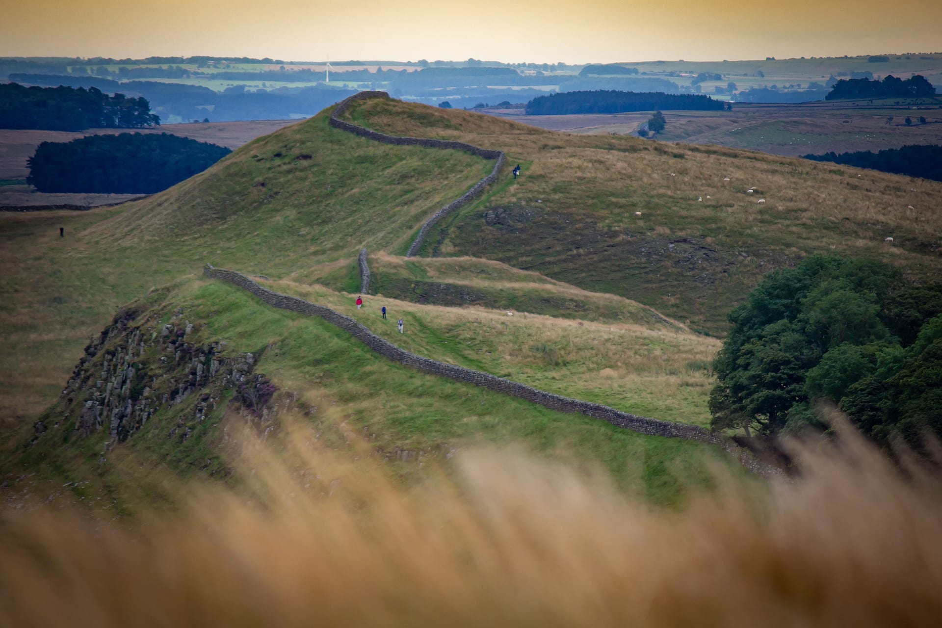
| Chipping Campden to Cheltenham | ~25 miles | 2 | The northern escarpment past Broadway Tower and over Cleeve Common — at around 330m the highest ground in the Cotswolds, with wide views to the Malverns and Wales. |
| Cheltenham to Painswick | ~16 miles | 1–2 | Beechwoods, common land and Iron Age hillforts above Gloucester, down into the "Golden Valley" and the wool town of Painswick. |
| Painswick to Wotton-under-Edge | ~25 miles | 2 | The mid-escarpment by Stroud and Dursley — the trackside station at Cam & Dursley sits right on this stretch — past the Tyndale Monument. |
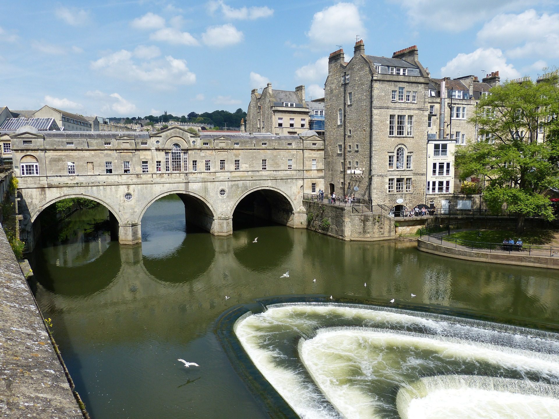
| Wotton-under-Edge to Bath | ~36 miles | 3 | The quieter southern wolds and the deer park at Dyrham, then the long descent into Bath to finish at the Abbey. |
Doing it car-free
The Bath end could hardly be easier: Bath Spa is a main-line station around an hour and a half from London Paddington, so the finish drops you straight onto the rail network. The start at Chipping Campden is the awkward one — the nearest stations are Moreton-in-Marsh and Honeybourne, each a few miles out, with a bus or taxi to fill the gap.
In between, the trail is more accessible than its rural feel suggests. Cam & Dursley station sits right on the route in the middle section, and Cheltenham Spa and Stroud are a short bus ride from the scarp, so the Cotswold Way splits neatly into rail-accessible halves around Stroud.
We scored every National Trail on how easy it is to reach without a car — see where the Cotswold Way ranks in our car-free National Trails index.
Where to stay
The towns and villages along the escarpment — Broadway, Winchcombe, Painswick, Wotton-under-Edge — are well supplied with pubs, B&Bs and small hotels, with bag-transfer services covering the whole trail. It is a popular route, so book ahead in summer and around Bath, where beds are in demand year-round.
Quick answers
How long does the Cotswold Way take?
Most walkers take seven to ten days for the full 102 miles. The distances are modest but the constant short climbs along the escarpment add up, so it is less gentle than the mileage suggests.
Which is the best section?
The northern stretch from Chipping Campden over Broadway Tower and Cleeve Common has the biggest views, while the walk down into Bath is a memorable finish. Either works well as a weekend on its own.
Can you walk it without a car?
The Bath end is excellent by train; the Chipping Campden end needs a bus or taxi from Moreton-in-Marsh. Cam & Dursley station on the route makes section walking around the middle easy.
When is the best time to walk it?
Late spring and early autumn give the best mix of firm ground, long views and quieter paths. The beechwoods are at their finest in May and again in October.
Train, parking, drive…
- Train
- Moreton-in-Marsh, then bus to Chipping Campden (~25 min); or taxi
- Return
- Bath Spa (mainline trains to London Paddington, ~1h20)
- Parking
- Chipping Campden long-stay car park, Back Ends
- Postcode
- GL55 6AS
- Drive
- ~2h30 from London, ~1h from Bristol
- Car-free?
- Easy (Bath end), Possible (Campden end)
Transport details are best-effort and worth double-checking on the day — rural buses and station services change with the timetable.
If you’ve got an extra day…
- Cheddar Gorge climbing on the limestone walls south-west of Bath
- Forest of Dean MTB just over the Severn
- Stay in a Cotswold pub at Stanton or Broadway
Plan it yourself.
The most authoritative sources we know of for this route — routes, conditions, governing bodies and operators. Open in a new tab.
- Cotswold Way - National Trails
- National Trails official body for the 15 long-distance National Trails of England and Wales.
- OS Maps Ordnance Survey for paper sheets and the OS Maps app for route planning.
- Mountain Weather Information Service free upland weather forecasts — the standard reference for British hill walkers.
- Long Distance Walkers Association route database covering hundreds of UK long-distance trails beyond the National Trails network.