Route notes checked June 2026.
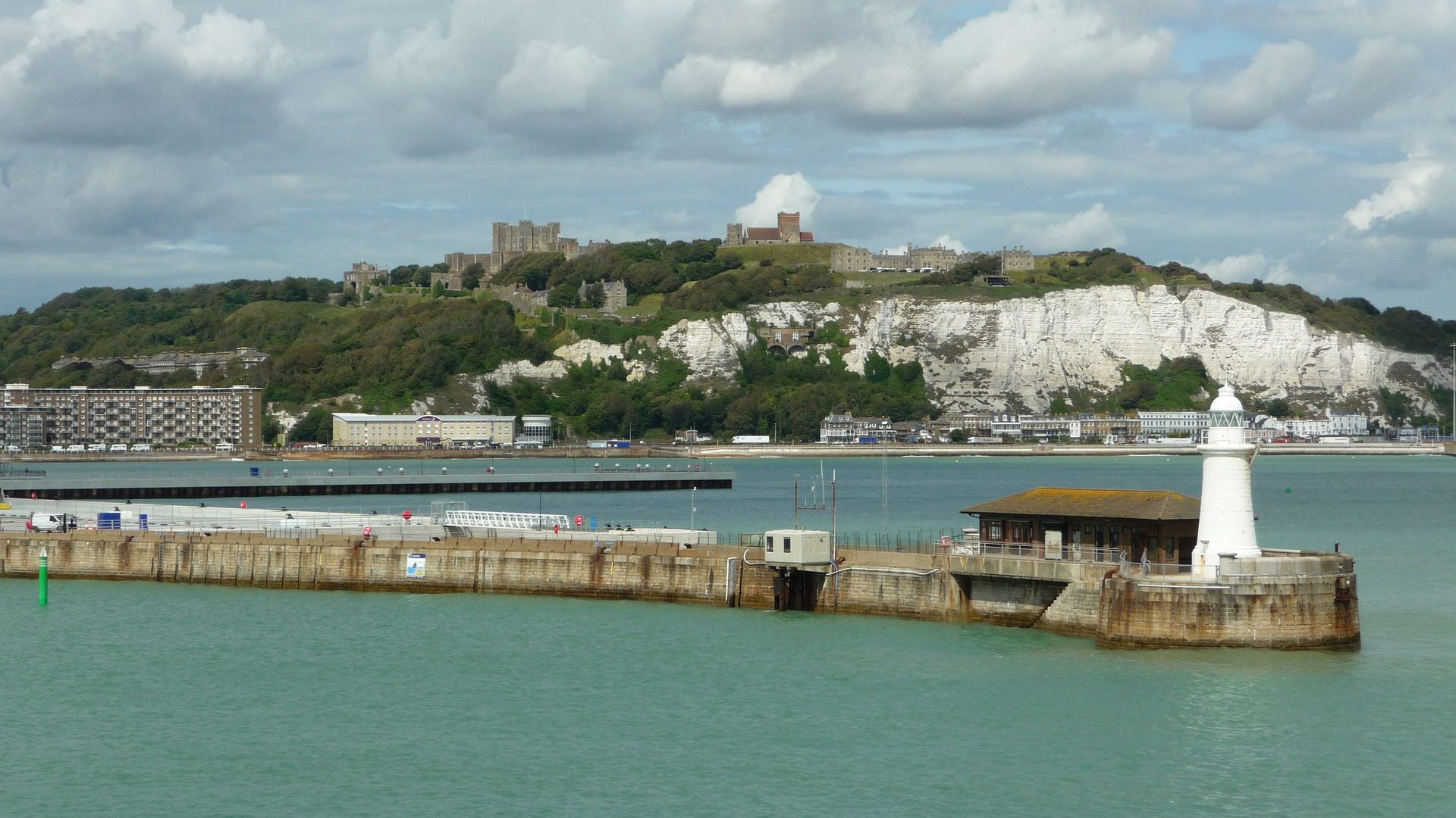
The North Downs Way runs 153 miles from Farnham in Surrey to Dover on the Kent coast, following the chalk escarpment of the North Downs. It opened as a National Trail in 1978 and overlaps with several pilgrim routes — the Pilgrims’ Way to Canterbury runs alongside or beneath the trail for much of its length.
What to expect
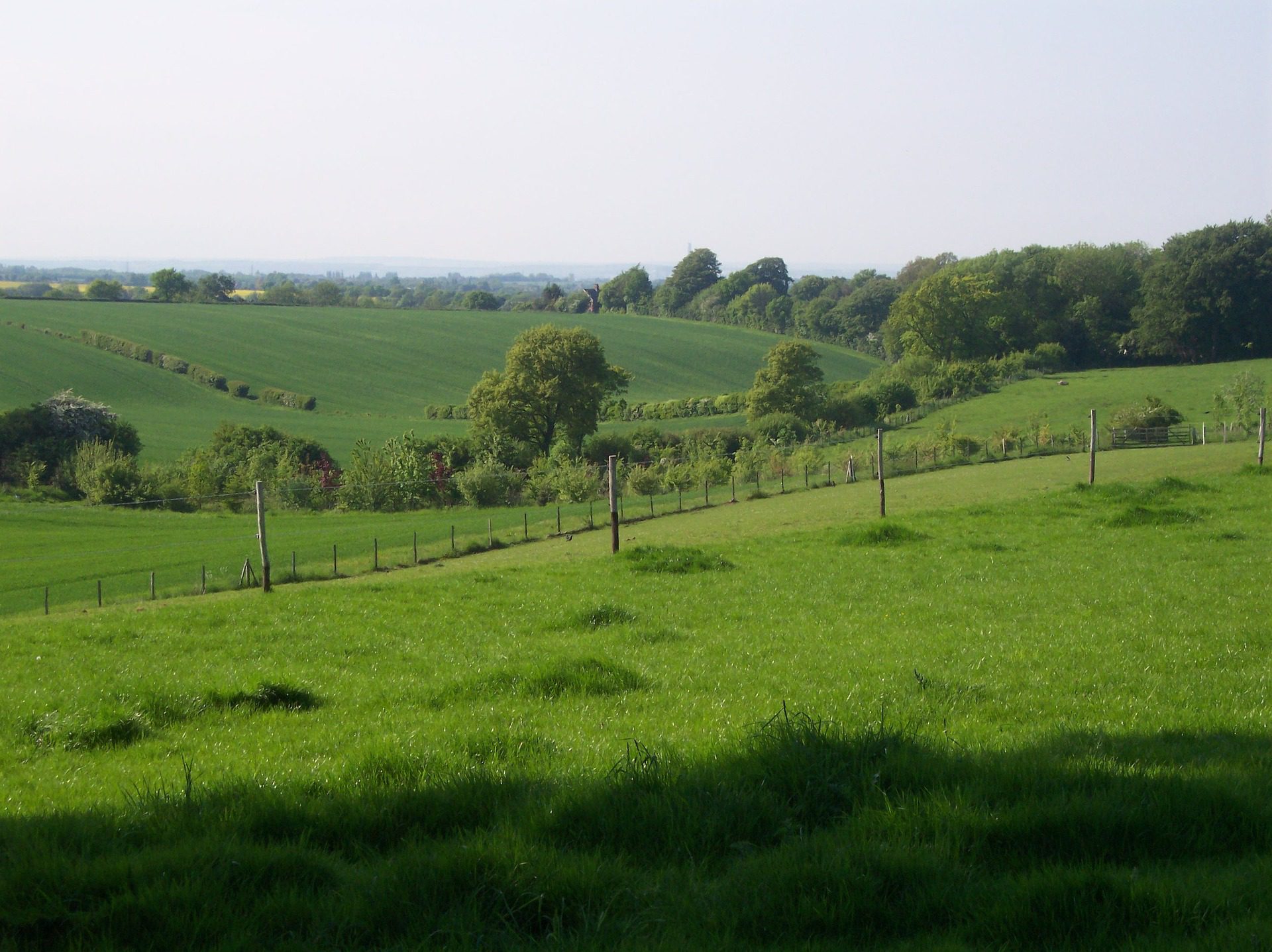
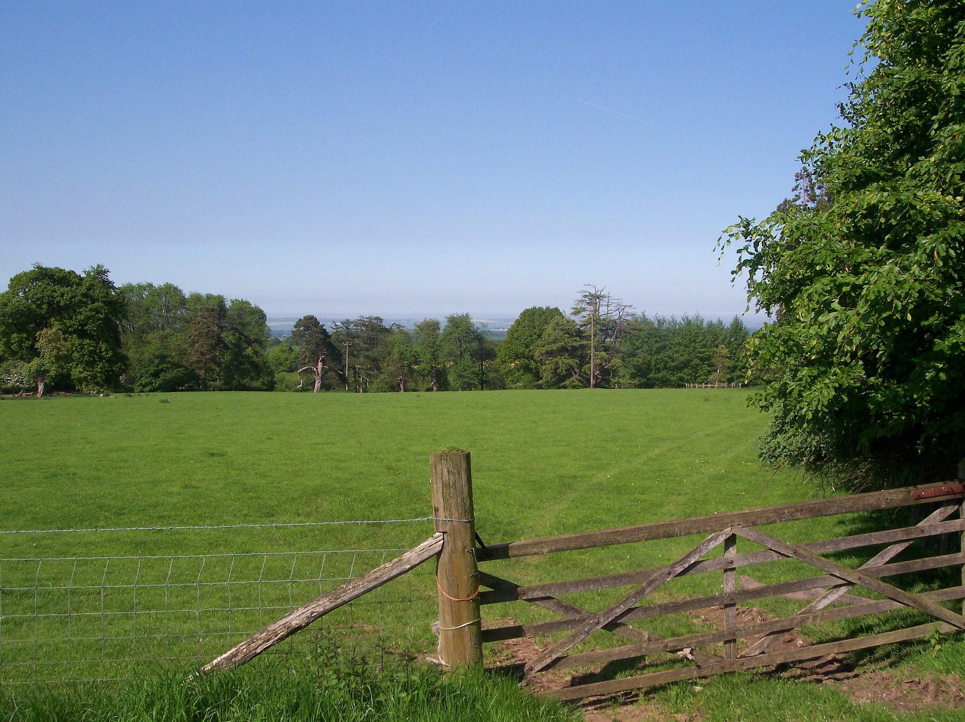
Eight to ten days at a steady pace. The terrain is gentle by National Trail standards — rolling chalk downland, beech woods, dry valleys, with cumulative ascent under 6,000m. Highlights include Box Hill (the Olympics 2012 cycling course), the white cliffs around Dover, and the quiet country between Wye and Folkestone. The path runs close enough to London that day-trip sections are easy on most weekends.
Practical notes
Walkable year-round; chalk drains well so winter mud is manageable. Public transport at almost every overnight stop — the route never strays far from a Southeastern train station. The North Downs Way Association publishes the most detailed route guide. Accommodation is plentiful but books up in spring weekends. Wear stiffer boots than you’d expect — the flint underfoot is unforgiving on light walking shoes.
Stage by stage
The North Downs Way runs 153 miles along the chalk from Farnham in Surrey to the White Cliffs of Dover, through the Surrey Hills and Kent Downs and shadowing the old Pilgrims' Way to Canterbury for much of its length. Near Wye the trail splits into two arms to Dover, one by way of Canterbury. Broken into natural sections (mileages approximate; totals include the Canterbury loop):
| Section | Distance | Days | Character |
|---|---|---|---|
| Farnham to Guildford | ~11 miles | 1 | An easy opening through greensand heath and woodland in the Surrey Hills, with stations at both ends. |
| Guildford to Otford | ~43 miles | 3 | The Surrey chalk ridge over St Martha's Hill and Box Hill — its steep step down to the Mole has a station at the foot — then on across the Darent into Kent. |
| Otford to Wye | ~50 miles | 4 | The long, quiet Kent Downs above the Weald, following the medieval Pilgrims' Way, with small village stations dotted below the scarp. |
| Wye to Dover | ~36 miles | 2–3 | The trail divides: one arm visits the cathedral city of Canterbury, the other keeps to the downs, and both finish on the White Cliffs above Dover. |
Doing it car-free
Running through the London commuter belt, the North Downs Way is among the most train-accessible trails in Britain. The start at Farnham and the finish at Dover Priory are both direct from London, and in between the path crosses or passes close to a string of stations — Guildford, Box Hill & Westhumble, Otford, Kemsing, Wye, Chilham and Canterbury among them.
That makes it an ideal trail to walk in day-sized pieces from London: train down to one station, walk a stretch of the downs, and pick up a train home at the other end. Few long trails are so easy to dip in and out of.
Curious how it stacks up? We rated all the National Trails by car-free access in our car-free travel index.
Where to stay
Being close to towns for most of its length, the North Downs Way has plenty of accommodation within easy reach, though some of it sits down in the valley rather than on the ridge, so check distances before booking. Pubs with rooms, B&Bs and small hotels cover the route; the quieter Kent Downs sections need a little more planning between stops.
Quick answers
How long does the North Downs Way take?
Most people take 12 to 14 days for the full 153 miles, at a comfortable 12 to 13 miles a day. The easy rail access means many walk it in sections over a series of day trips instead.
Which is the best section?
The Surrey Hills stretch over St Martha's Hill and Box Hill is the most scenic single day, and one of the easiest to reach — Box Hill & Westhumble station sits right on the route.
Can you walk it without a car?
Yes, exceptionally easily. Direct trains serve both ends, and the trail passes close to stations along almost its whole length, making car-free day and section walking simple.
When is the best time to walk it?
Spring and autumn are ideal, with firm chalk underfoot and clear views over the Weald. The going can be muddy in the woodland sections after winter rain.
Train, parking, drive…
- Train
- Farnham (SW Railway from Waterloo, ~55 min)
- Return
- Dover Priory (Southeastern High Speed from St Pancras, ~1h)
- Parking
- Farnham station car park or Brightwells multi-storey
- Postcode
- GU9 8AD
- Drive
- ~1h from London
- Car-free?
- Easy
Transport details are best-effort and worth double-checking on the day — rural buses and station services change with the timetable.
If you’ve got an extra day…
Plan it yourself.
The most authoritative sources we know of for this route — routes, conditions, governing bodies and operators. Open in a new tab.
- North Downs Way - National Trails
- National Trails official body for the 15 long-distance National Trails of England and Wales.
- OS Maps Ordnance Survey for paper sheets and the OS Maps app for route planning.
- Mountain Weather Information Service free upland weather forecasts — the standard reference for British hill walkers.
- Long Distance Walkers Association route database covering hundreds of UK long-distance trails beyond the National Trails network.