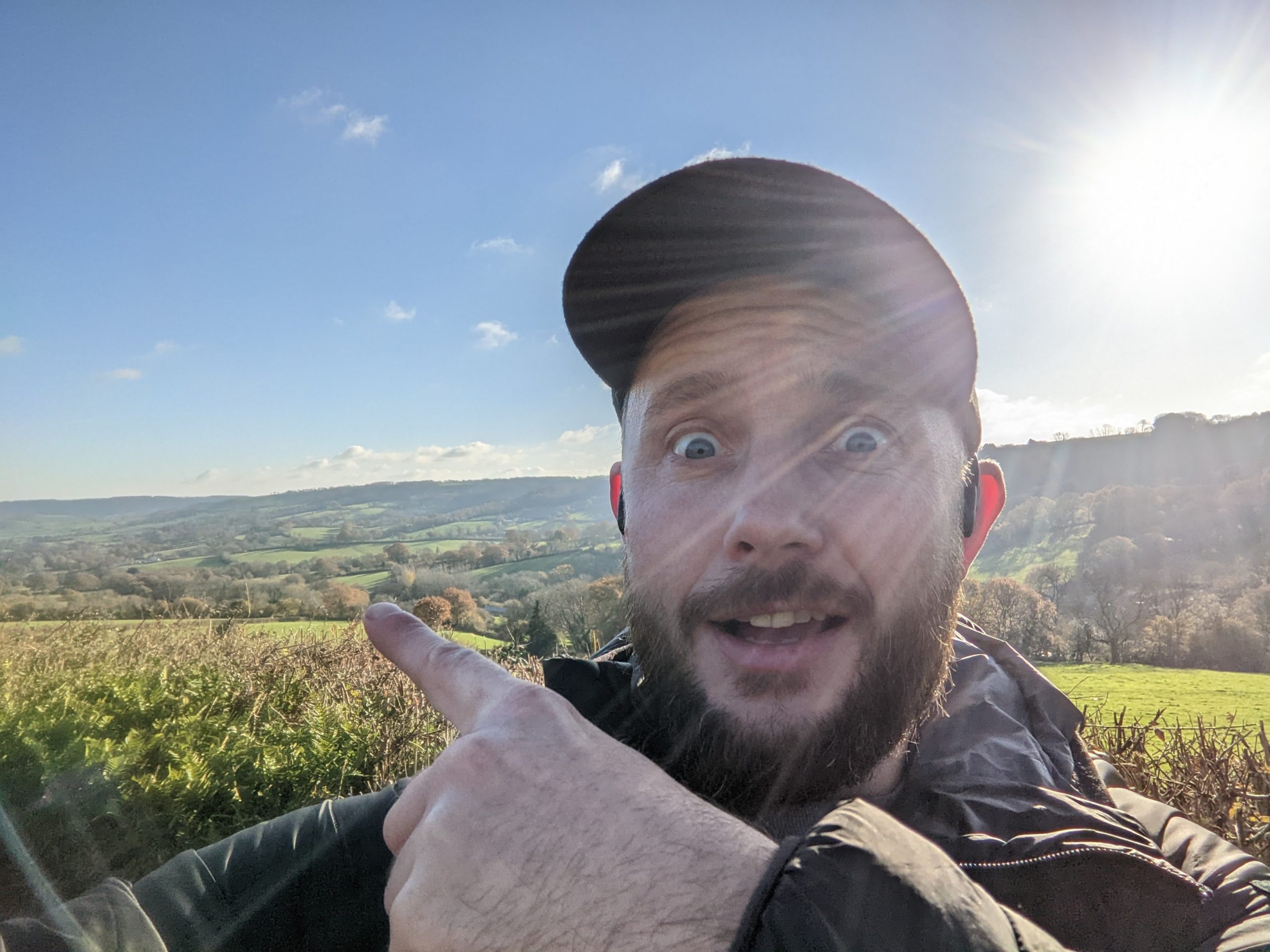
Hiking across Dartmoor from Ivybridge to Oakhampton took 2 days, covered 60km and involved getting lost multiple times.
About Dartmoor
Dartmoor is a national park found in the south west of England in Devon. It extends about 37km from North to South and 32km East to West reaching from south Devon to mid Devon. It is largely an upland area of Moor land sitting on granite rock with a max elevation of 621 meters. Where the rocks pierce out at the top of the hills they form ‘Tors’ of which there are over 160 that can be hiked.
In slightly lower valleys of Dartmoor you’ll find a scattering of villages with welcoming pubs and shops where you can stock up on food and drink during your hikes.
Dartmoor is also famous for it’s free roaming farm animals, such as cows and sheep, as well at the wild Dartmoor Ponies.
Day 1 – Ivybrigde to Holne (24km)
Hiking across Dartmoor can be done from north to south or south to north, and I chose the latter. I set off to hike from Ivybridge, on the southern edge of Dartmoor, at mid day with the plan to make it to Oakhampton, on the northern border, by the end of the following day. These are the two best linked towns surrounding Dartmoor with trains that go via Exeter and Plymouth which would allow me to leave my car in Ivybrigde and get the train back to it from Oakhampton at the end.
Heading up from Ivybridge onto the moors I climbed steeply for about 10-15mins until passing through a gate I emerged onto the moor land. The landscape opened up turning into the expansive rolling hills of Dartmoor.
My aim was to largely follow the ‘Two Moors Way’ to hike across Dartmoor, a long distance path that runs from coast to coast and passes through both Dartmoor and Exmoor. With that plan in mind I immediately took a wrong turn and instead climbed to the top of Western Beacon hill, which thankfully had and amazing view back across to the sea. Fixing my directions I turned north and climbed down and then up Butterdon Hill and back onto the Two Moors Way path. From here I was able to follow the well maintained route for the next couple of hours.
After about 10km out from Ivybridge the route diverges from the track and heads up and down over the moorland on small paths crossing rivers and streams before climbing back up the far side of the valley. If you reach as far as Avon Dam Reservoir then you’ve gone too far and will need to turn around or head North East to get back to the track up on the top of the hill. I reached the reservoir…
After crossing through the boggy off piste route I eventually made it back to the path and continued across the moors for about another 5km before descending down through the villages of Scorriton and Holne. Here at about 7:30pm I stopped for a drink in the village pub to rest and warm up.
When leaving the pub it was dark outside so under the light of my head torch I carried on to find a wild camping spot about 20 minutes away on the other side of the river Dart.
Putting my tent up in the woods in the dark and feeling tired I ate my food cold but heated up some hot chocolate before bedding down for the night.
Day 2 – Holne to Oakhampton (36km)
I woke around 6:45am to a cold but dry morning and packed up fairly quickly, had a hot drink and got going around 7:30am. There are a few people setting out for hikes and trail runs from the car park but it would turn out that these would be the majority of people I would see on the route today.
Climbing up from the river spot where I camped I gained about 200 meters as the path rose to the side of Aish Tor summit. From here it followed the valley ridge line for a few kms with great views across the river before crossing the B3357. From here the walk continued winding through a mixture of moorland and farmed fields and passing ancient boundary standing stones old quarries, watermills and pump stations.
The path goes through Soussons Woods and follows a small stream before climbing to another main road, the B3212, where it passes very close to the Warren House Inn, which has an open fire said to have been continuously burning since 1845. After 4 hours of hiking through the morning I reached here at 11:30am just as the doors were opening so it would have been rude not to head in for a drink and a spot of lunch. I was the first person in and was about to get my order in quickly, but the pub soon filled up with people there for Sunday lunch as well as other hiking across Dartmoor.
Back on the trail in the afternoon I continued following the Two Moors Way through the moors until reaching Teigncombe. Here I turned off and made my way through fields and villages linking up smaller foot paths until reaching the bottom of Cosdon Beacon after another 3 hours.
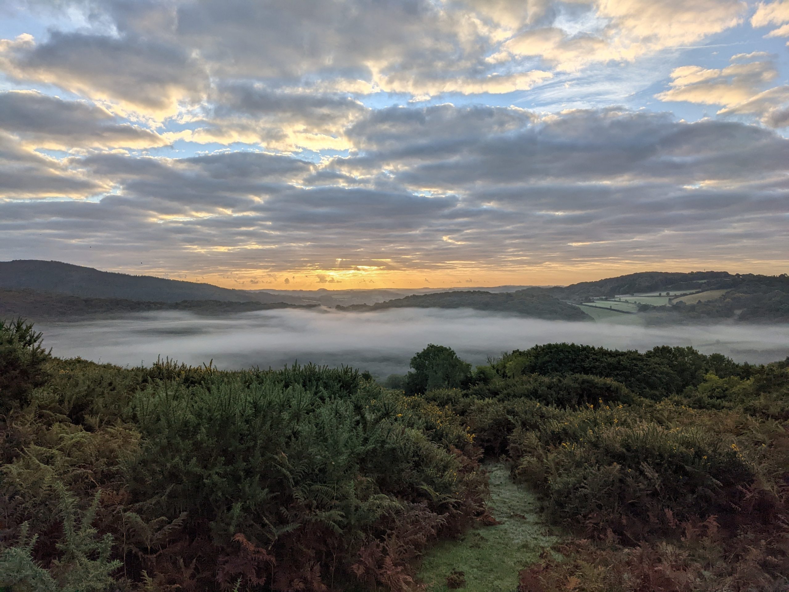
Climbing to the top was a big effort with tired legs but the views from the top made it worth it with final views across the moors and onto Belstone, the last village before Oakhampton.
From the top it was a long walk down across the moorland before linking up with a path and crossing the river and up a steep hill into Belstone. It’s a lovely village with a nice pub and beer garden with views back up to the top of the Beacon and it would have been nice to get there earlier. However I had to crack on through the village and down the other side to the river Erme. By this time it was getting dark again so I took the easier route and followed the river all the way down and under the motorway at the bottom. A sharp left turn and about 15 minutes further finally brought me up and out to Oakhampton station. After an extra 10km to the originally planned 50km hike, I’d made it!
Final thoughts
Hiking across Dartmoor from Ivybridge to Oakhampton is a great trip and one I’d definitely recommend. I’d suggest starting the first day early to give two full days to complete the hike more comfortably and to plan in a couple of stops at the great pubs along the way.
I’d also probably not suggest taking the route that I made up as it did add on quite a bit more distance however it was enjoyable making the route up on the go. Take a compass and a map! The weather can change very quickly on Dartmoor so take care and make sure you have the right equipment and let someone know your out there.
Video of hiking across Dartmoor over 2 days