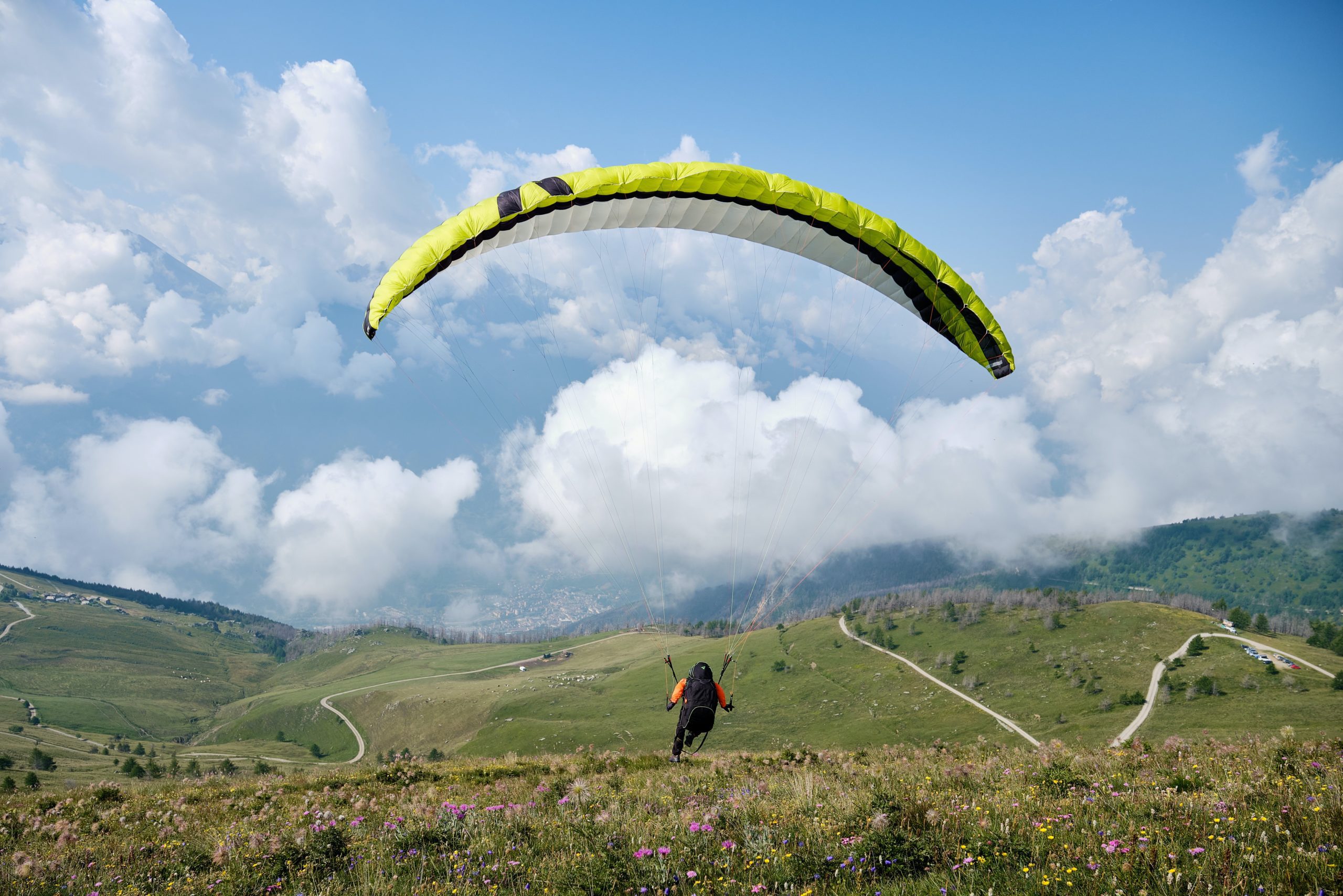
Axis Paragliding is based near Abergavenny in Monmouthshire, on the south-eastern edge of the Brecon Beacons National Park. The school is well-positioned for training on the Black Mountains ridge, the Sugar Loaf and the Skirrid — three of the best ridge sites in south-east Wales — and benefits from the gentler climate at the lower altitudes of the Beacons fringe.
What to expect
BHPA Elementary courses (4-5 days), Club Pilot continuation, tandem flights. The school’s home ridge gives clean prevailing-wind training conditions; the Black Mountains and the Sugar Loaf provide more committing sites for advanced training. Course sizes stay small. Continuation training for licensed pilots covers thermal flying, cross-country flights and ridge soaring at multiple Welsh sites.
Practical notes
April-October is the practical season. Abergavenny is a market town with cafes, accommodation and a strong outdoor scene — the Wye Valley, the Brecon Beacons and the Welsh Marches are all on the doorstep. Combine a course week with walking on the Sugar Loaf, the Skirrid, or a section of Offa’s Dyke. Bring layers; ridge tops are noticeably colder than the valley below.
Who it suits
Axis suits beginners and progressing pilots who want access to genuine mountain ridges without the highest-altitude commitment. Its position by the Sugar Loaf, the Skirrid and the Black Mountains gives a varied set of sites for building skills.
Getting there
The school is near Abergavenny in Monmouthshire, on the south-eastern edge of the Brecon Beacons. Abergavenny has its own station on the Welsh Marches line, but the ridge sites are out in the hills, so you will need a car or a lift from the school on the day.
Quick answers
Is it suitable for beginners?
Yes. Tasters and the BHPA Elementary course are built for people with no experience, working up gradually from ground handling to flights.
How long does it take to qualify?
Elementary takes a few days; the Club Pilot rating typically takes a season, since progress depends on getting enough suitable-weather days.
When is the best time of year?
Spring to autumn. Welsh mountain weather is changeable, so flexibility over dates makes a real difference to how much flying you get.
Train, parking, drive…
- Train
- Abergavenny (Marches line from Newport or Hereford), then taxi
- Parking
- School base in town; school transport to Black Mountains
- Postcode
- NP7 7DT
- Drive
- ~3h from London, ~50 min from Cardiff
- Car-free?
- Possible
Transport details are best-effort and worth double-checking on the day — rural buses and station services change with the timetable.
If you’ve got an extra day…
- BikePark Wales 30 min south
- Crickhowell Paragliding on neighbouring sites
- Pen-y-Fan hike on a rest day
Plan it yourself.
The most authoritative sources we know of for this site — routes, conditions, governing bodies and operators. Open in a new tab.
- BHPA British Hang Gliding and Paragliding Association — qualifications and instructor accreditation.
- BHPA Sites Guide flying sites by region and recommended local clubs.
- XCWeather pilot-focused weather forecasts — wind, cloudbase, thermal index.
- RASP UK thermal soaring forecast model used by UK XC pilots.