Route notes checked June 2026.
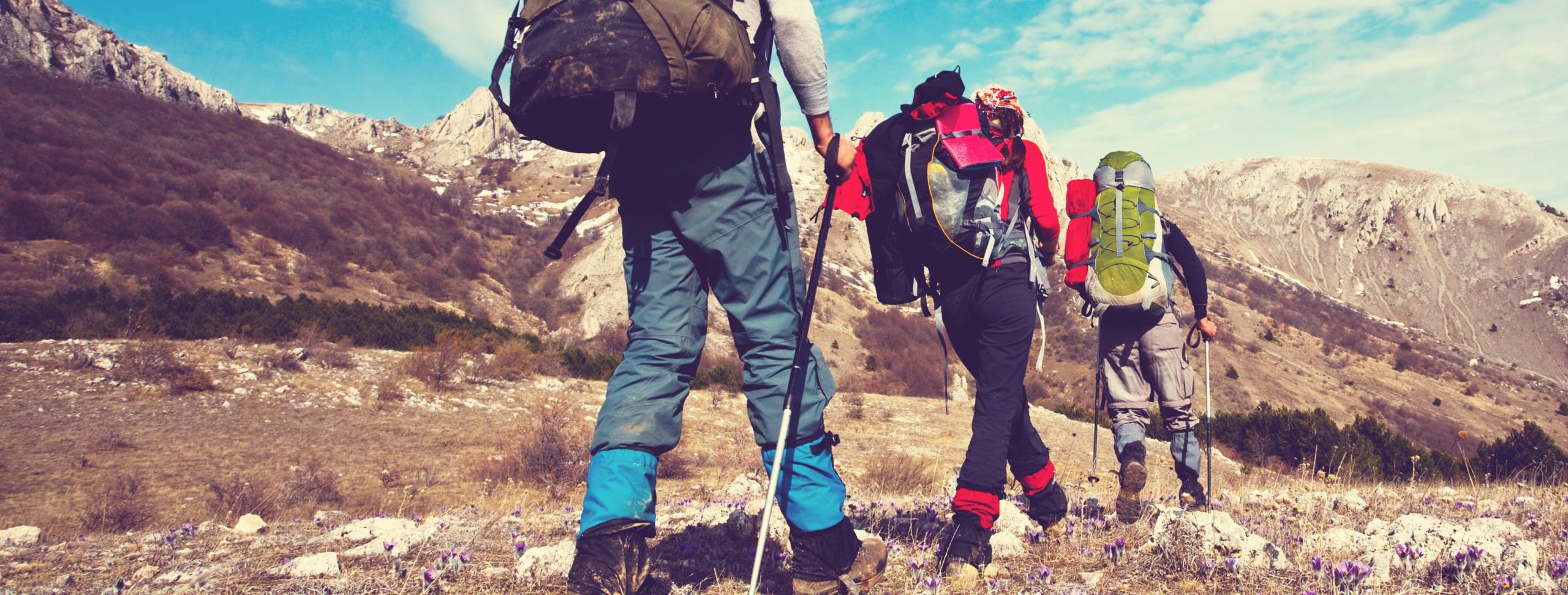
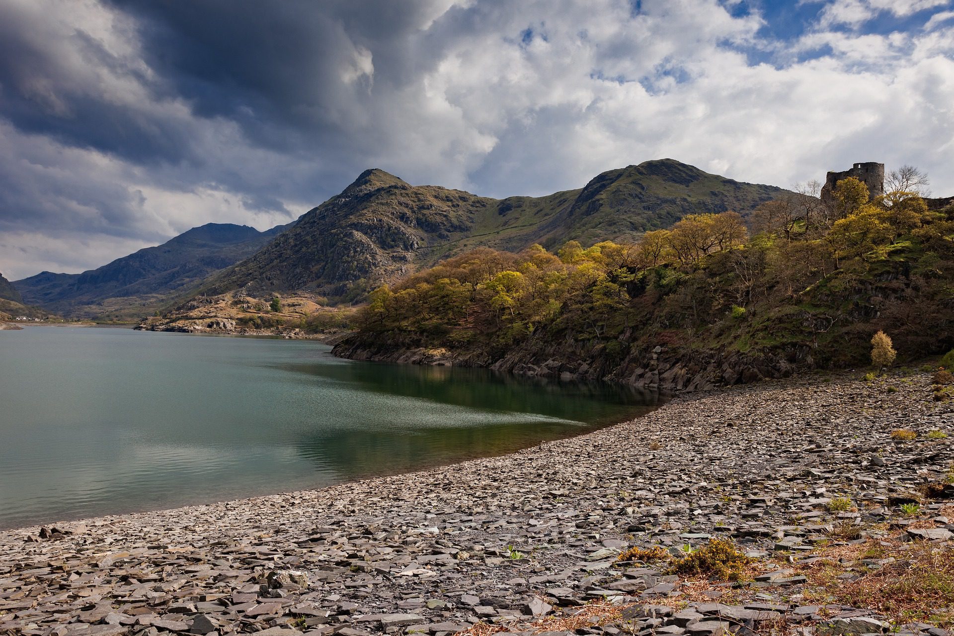
The Snowdonia Way is a relatively new 97-mile route from Machynlleth in the south of the National Park to Conwy on the north coast. It threads between the major Snowdonia ranges rather than over them — a lower-level alternative that lets walkers see the high peaks every day without committing to a mountain traverse.
What to expect
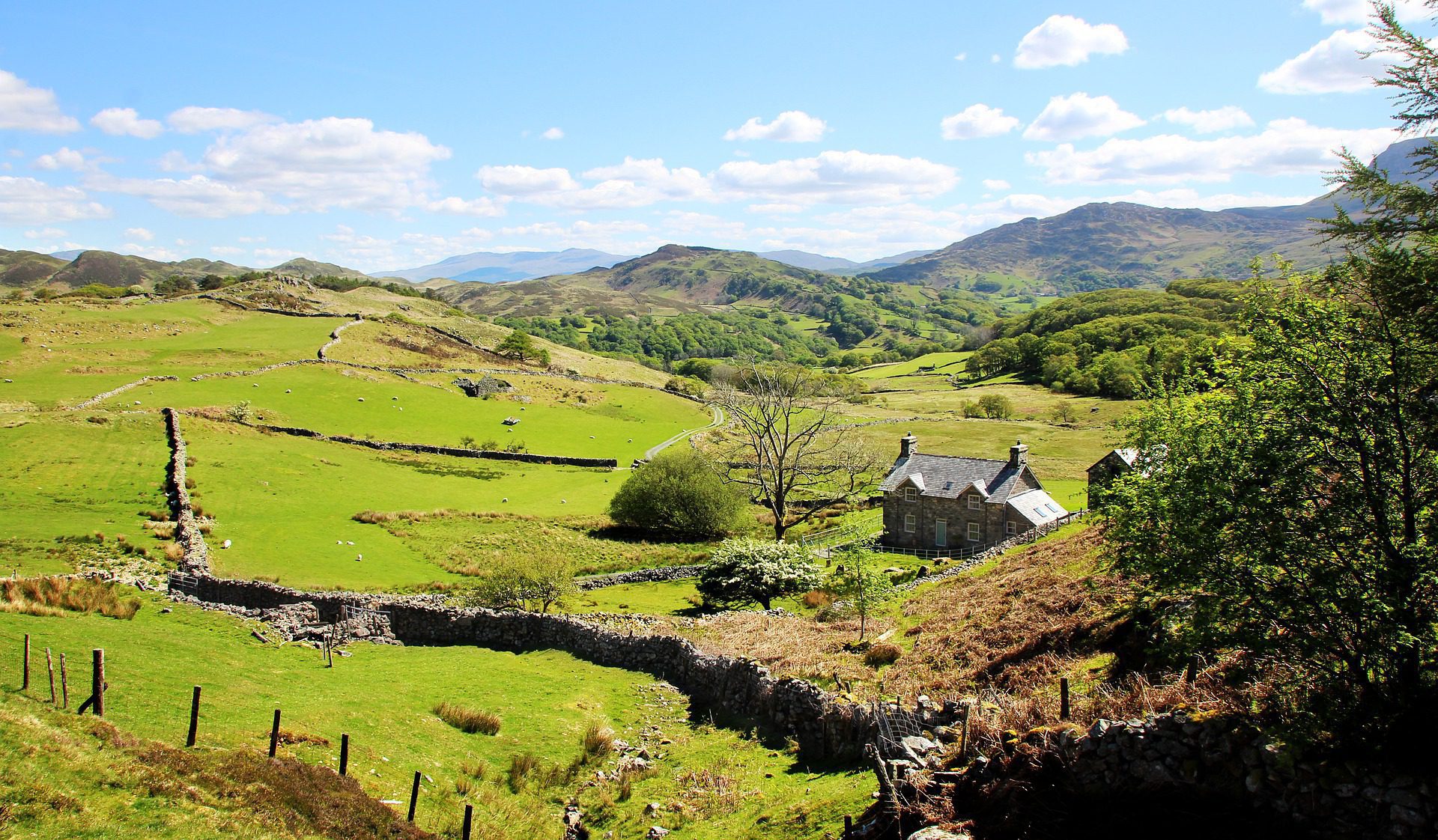
Most walkers take 7-9 days. The route passes through the Dyfi Valley, around Cadair Idris and the Rhinogydd, between the Glyderau and the Carneddau, and finishes along the coast of the Conwy estuary. Daily distances are 12-16 miles with moderate ascent — the path keeps to valleys and bridleways and avoids the high tops. The full Snowdon area can be added as an optional rest-day side trip.
Practical notes
April through October is practical; midsummer means long days but also Snowdonia's holiday crowds in the villages. Welsh-language signage is the norm — Pen-y-Pass, Beddgelert, Betws-y-Coed, Llanrwst. Public transport between most overnight stops is good, which means you can break it into long weekends rather than do it in one push. The full route guide and waymarking is maintained by the Snowdonia Society.
Stage by stage
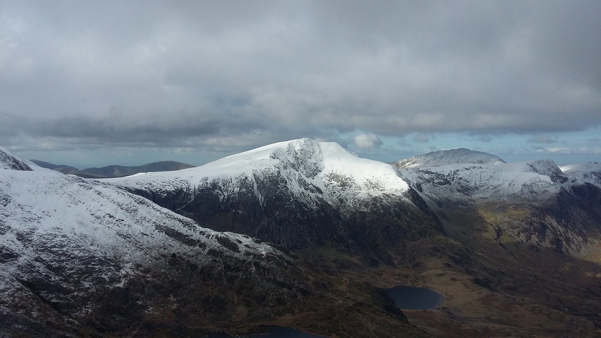
The Snowdonia Way is a 97-mile route through Eryri (Snowdonia), from Machynlleth in the south to the walled town of Conwy on the north coast. Unlike the National Trails it is an independent long-distance route rather than an officially designated one, and it comes in two forms: a mainly low-level valley route, and a tougher 122-mile mountain variant that takes in Cadair Idris, Yr Wyddfa (Snowdon) and the Glyderau. The low route, broken into natural sections, looks like this (mileages approximate):
| Section | Distance | Days | Character |
|---|---|---|---|
| Machynlleth to Dolgellau | ~22 miles | 1–2 | Old rights of way and forest tracks through the quiet southern hills beneath Cadair Idris, down to the market town of Dolgellau. |
| Dolgellau to Beddgelert | ~28 miles | 2 | The wooded heart of southern Eryri, through the Coed y Brenin forest and the dramatic Pass of Aberglaslyn to Beddgelert. |
| Beddgelert to Capel Curig | ~25 miles | 2 | Valley paths beneath Snowdon and the central peaks, with the high mountains rising on every side — the scenic core of the walk. |
| Capel Curig to Conwy | ~22 miles | 1–2 | Past the Ogwen valley and Aber Falls, then down the Conwy valley to the castle and the sea. |
Doing it car-free
Both ends sit on the railway, which makes the trip easy to arrange without a car. Machynlleth is on the Cambrian line from Shrewsbury, and Conwy is on the North Wales coast line between Chester and Holyhead. The middle is unusually well served for a mountain route, too: the Conwy Valley line runs up from Llandudno Junction with stations at Betws-y-Coed and Blaenau Ffestiniog, both close to the trail, giving you handy points to join or leave.
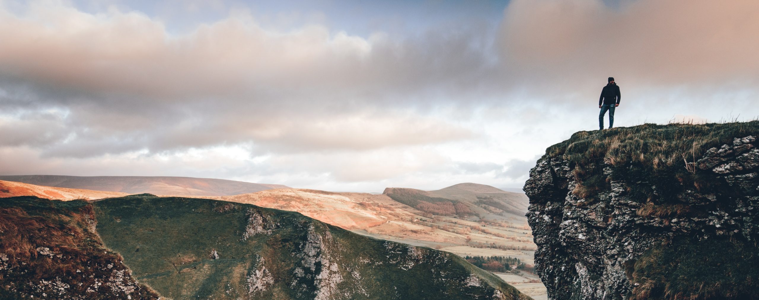
The mountain variant crosses high, serious ground — Cadair Idris, Snowdon and the Glyderau — and needs proper hill experience, navigation and kit. The low route is the one to choose if you want a walk through the mountains rather than over them.
If you're travelling without a car, see how Britain's National Trails rank for access in our car-free National Trails index.
Where to stay
The villages and towns along the way — Dolgellau, Beddgelert, Betws-y-Coed, Conwy — are popular tourist bases with a good range of pubs, B&Bs, hostels and campsites, so accommodation is easier than on the remoter Welsh trails. They do get busy in summer and school holidays, so book ahead, especially around Betws-y-Coed and Conwy.
Quick answers
How long does the Snowdonia Way take?
Most walkers take six to eight days for the 97-mile low route. The mountain variant is longer and much harder, and takes correspondingly more time and experience.
Is the Snowdonia Way a National Trail?
No. It is an independent long-distance route through Eryri rather than one of the officially designated National Trails, but it is well planned and increasingly walked, with both a low-level and a mountain option.
Can you walk it without a car?
Yes, easily. Machynlleth and Conwy are both on the rail network, and the Conwy Valley line with stations at Betws-y-Coed and Blaenau Ffestiniog gives good access to the northern half.
When is the best time to walk it?
Late spring to early autumn for the longest days and the best chance of clear weather. The low route is walkable in most conditions, but the mountain variant should only be attempted in settled weather with proper hill skills.
Train, parking, drive…
- Train
- Machynlleth (Cambrian line from Birmingham/Shrewsbury), ~5 min walk to trailhead
- Return
- Conwy (north Wales coast line)
- Parking
- Machynlleth town car parks; pay-and-display
- Postcode
- SY20 8EB
- Drive
- ~4h30 from London, ~2h30 from Manchester
- Car-free?
- Easy
Transport details are best-effort and worth double-checking on the day — rural buses and station services change with the timetable.
If you’ve got an extra day…
Plan it yourself.
The most authoritative sources we know of for this route — routes, conditions, governing bodies and operators. Open in a new tab.
- Snowdonia National Park
- National Trails official body for the 15 long-distance National Trails of England and Wales.
- OS Maps Ordnance Survey for paper sheets and the OS Maps app for route planning.
- Mountain Weather Information Service free upland weather forecasts — the standard reference for British hill walkers.
- Long Distance Walkers Association route database covering hundreds of UK long-distance trails beyond the National Trails network.