Airworks Paragliding operates from the South Downs near Laughton in East Sussex — one of several long-running schools clustered around the southern chalk ridge between Brighton and Eastbourne. The South Downs Way runs along the ridge top above the training sites, and the prevailing south-westerly wind off the Channel gives consistent ridge-soaring conditions for most of the flying season.
What to expect
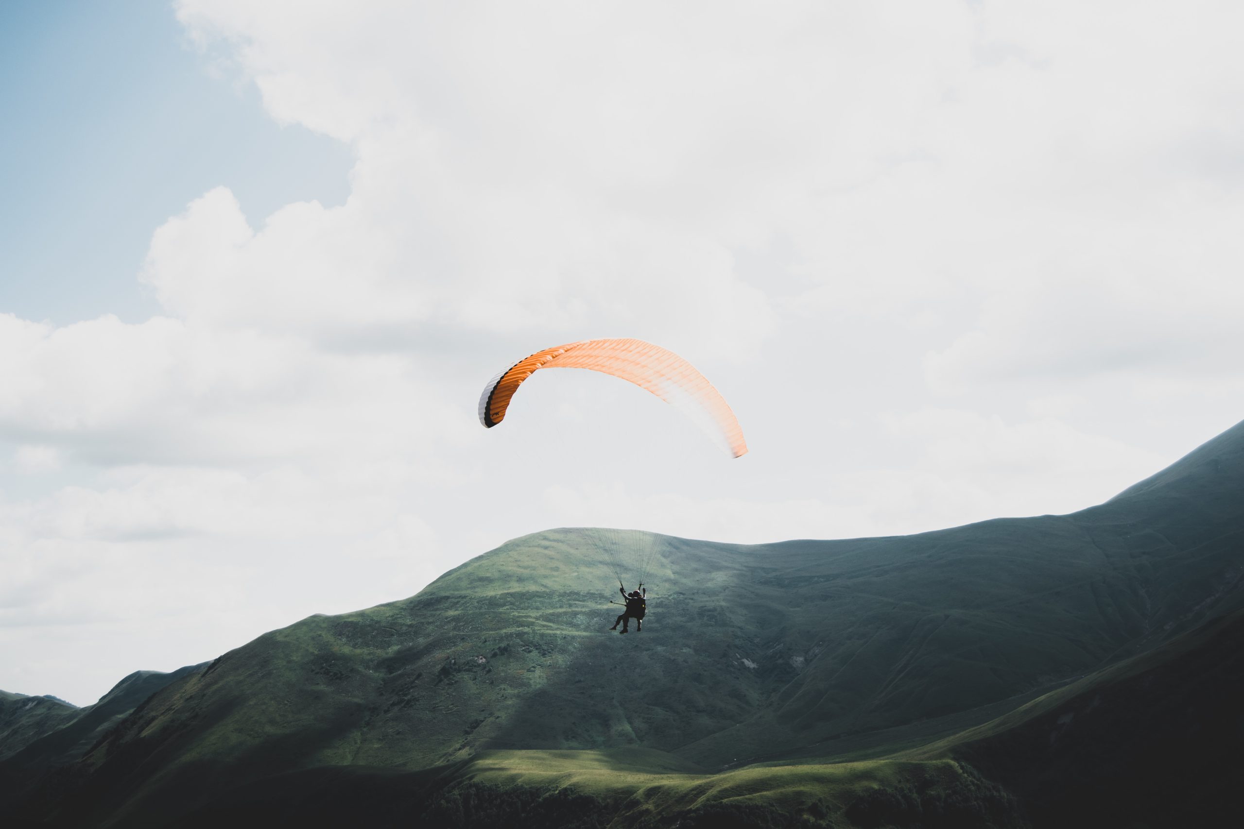
Standard BHPA pathway: tandem flights, Elementary Pilot courses, Club Pilot continuation. The chalk-down sites are gentler than upland UK paragliding terrain — ridge tops at 200-250m, well-grazed grass slopes, clean lift in southerly winds. The southern English climate is also more forgiving than further north — the school operates more days per year than equivalent northern schools.
Practical notes
March-October is the practical season. Lewes, Brighton and Eastbourne all offer accommodation within easy driving distance. The South Eastern Hang Gliding & Paragliding Club is the local pilot community. Combine a course week with walking on the South Downs Way, a swim at Birling Gap, or a day in Brighton. Bring waterproofs — even Sussex summer can throw sudden showers up the Channel.
Who it suits
Airworks suits first-timers and improving pilots alike, drawing on the long, reliable chalk ridge of the South Downs. The consistent south-westerly off the Channel makes the local sites a good place to build the airtime that beginners need.
Getting there
The school is on the South Downs near Laughton in East Sussex. Lewes and Berwick are the nearest stations, but the ridge-top sites along the scarp are reached by road, so plan on a car or a lift from the school to get to launch.
Quick answers
Do you need experience to try it?
No. A tandem flight or the BHPA Elementary course is open to complete beginners, starting with ground handling on the lower slopes.
How long does it take to learn?
The Elementary stage takes a few days; the Club Pilot rating that allows independent flying usually takes a season of weather-permitting days to complete.
When is the best time of year?
Spring to autumn offers the most flying. The South Downs sites work best on a steady south-westerly, so courses are spread across suitable days.
Train, parking, drive…
- Train
- Lewes (Southern from London Victoria, ~1h10), then taxi to Laughton (~15 min)
- Parking
- School base at Laughton; school transport to South Downs sites
- Postcode
- BN8 6BN
- Drive
- ~1h30 from London
- Car-free?
- Possible
Transport details are best-effort and worth double-checking on the day — rural buses and station services change with the timetable.
If you’ve got an extra day…
- South Downs Way Hike runs along the chalk ridge
- Rogate Bike Park MTB an hour west
- Stay in Lewes after a session
Plan it yourself.
The most authoritative sources we know of for this site — routes, conditions, governing bodies and operators. Open in a new tab.
- BHPA British Hang Gliding and Paragliding Association — qualifications and instructor accreditation.
- BHPA Sites Guide flying sites by region and recommended local clubs.
- XCWeather pilot-focused weather forecasts — wind, cloudbase, thermal index.
- RASP UK thermal soaring forecast model used by UK XC pilots.