Route notes checked June 2026.
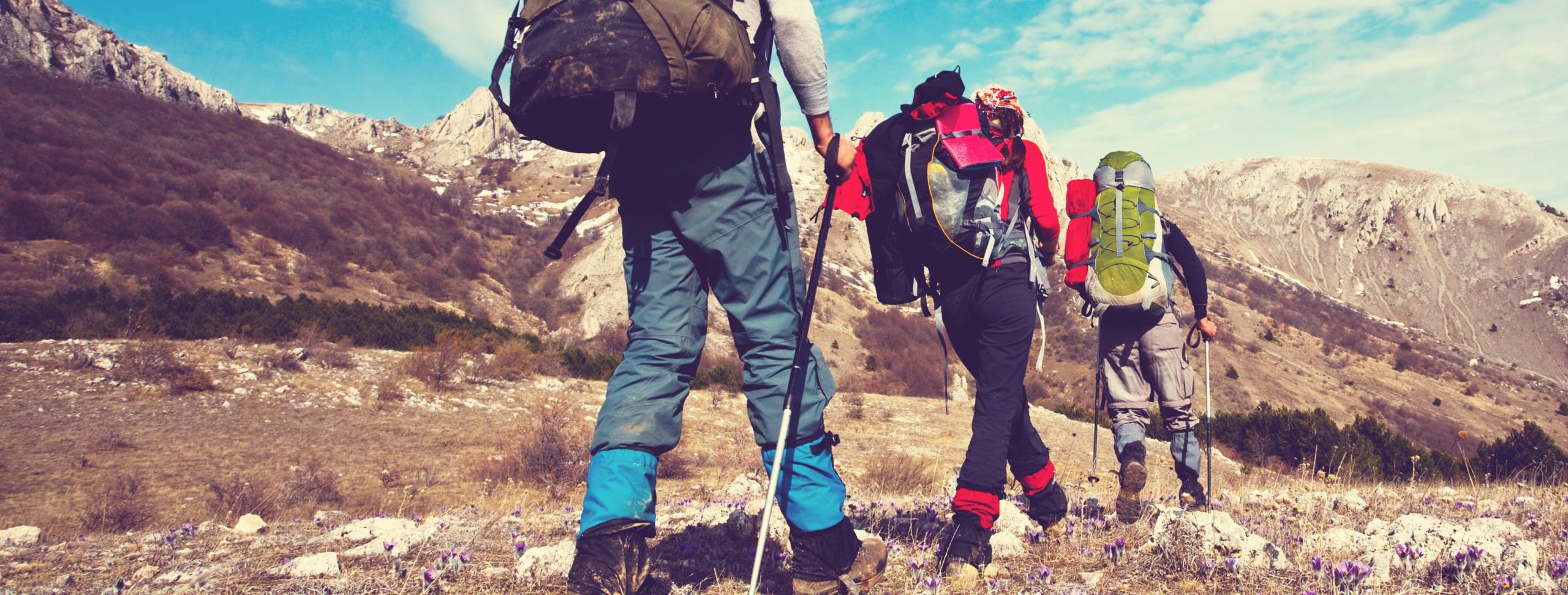
Glyndwr’s Way is a 135-mile National Trail that loops through the remote sheep country of Mid Wales — from Knighton on the English border, west through Machynlleth (Owain Glyndŵr’s historic capital), then back east to Welshpool. Named after the 15th-century Welsh prince and folk hero, it’s the quietest National Trail in Wales and one of the most genuinely remote in mainland Britain.
What to expect
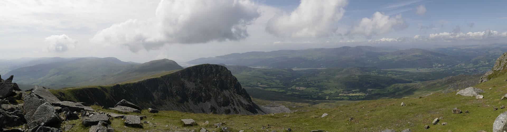
Nine to twelve days of walking. The terrain is mid-altitude upland — rolling hills, forestry plantation, open moorland and small farms, with daily ascent rarely above 700m but cumulative ascent over the trail around 7,000m. Long stretches between villages are normal; some days you’ll walk eight or more miles without seeing another walker. The route passes Lake Vyrnwy, the Dyfi Valley, and several Iron Age hill forts.
Practical notes
April through October is the practical season; winter brings real isolation that’s best avoided unless you’re experienced. Accommodation is thinner than other trails — some stages will require booking 6 months ahead or walking longer days to reach a village with a B&B. Welsh-language place names are the norm. Carry full waterproofs, a map and compass (the path is well-waymarked but mist closes in fast at altitude), and enough water for stretches between farms.
Stage by stage
Glyndwr's Way is the quiet one — 135 miles looping through the empty hills of mid-Wales, from Knighton on the English border out west to Machynlleth and back east to Welshpool. Named after Owain Glyndwr, it is the most remote and least-walked of the National Trails, a route of forestry, open moor and small Welsh hill towns with long gaps between them. Broken into natural sections (mileages approximate):
| Section | Distance | Days | Character |
|---|---|---|---|
| Knighton to Llanidloes | ~46 miles | 3 | The lonely southern uplands of Powys — forestry tracks, hidden valleys and high open moor, with very few villages and a real sense of remoteness. |
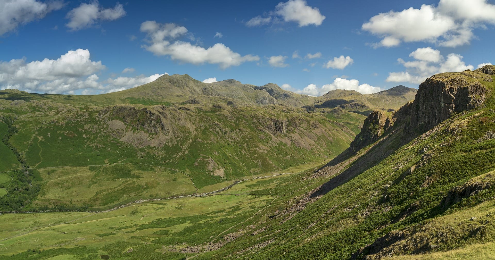
| Llanidloes to Machynlleth | ~32 miles | 2 | The highest, wildest ground on the trail, crossing Foel Fadian (around 510m, the high point) before the long descent to Machynlleth and its station. |
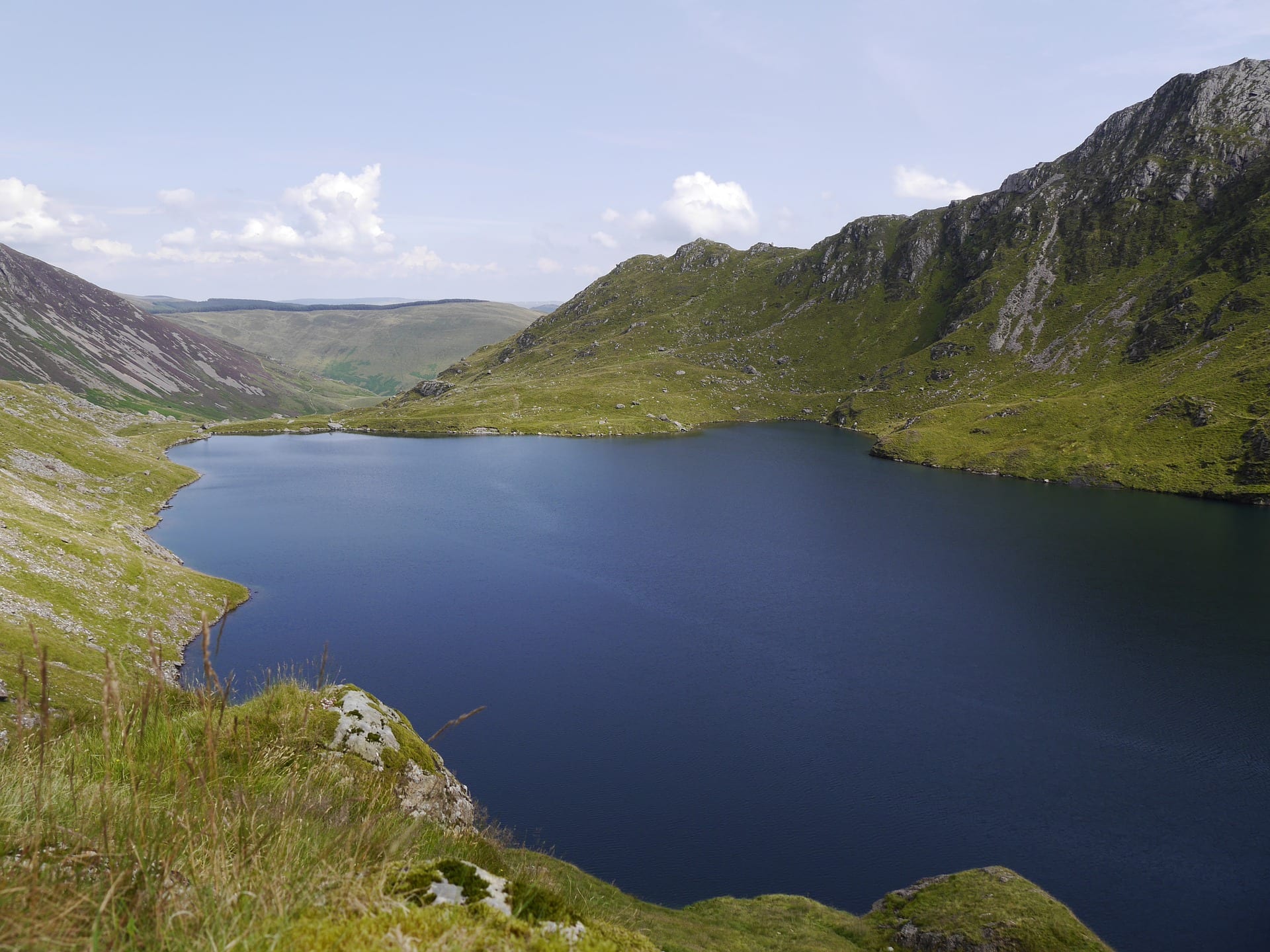
| Machynlleth to Welshpool | ~57 miles | 4 | The long north-eastern arm back towards the border, past the reservoir country near Lake Vyrnwy and the quiet Vyrnwy valley to finish at the canal in Welshpool. |
Doing it car-free
The two ends are both on the railway, which makes the overall trip easy to arrange without a car. Knighton sits on the Heart of Wales line, and Welshpool is on the Cambrian main line between Shrewsbury and Aberystwyth. Better still, Machynlleth — the western turning point of the horseshoe — is also on the Cambrian line, so the trail divides neatly into two rail-bookended halves.
The catch is the middle. This is genuinely remote country, and away from those three stations public transport is sparse and infrequent — thin rural bus services at best. Plan the interior sections carefully, because bailing out partway is not as simple as on the southern English trails.
For how this compares with the rest of the network, see our index of the most car-free National Trails.
Where to stay
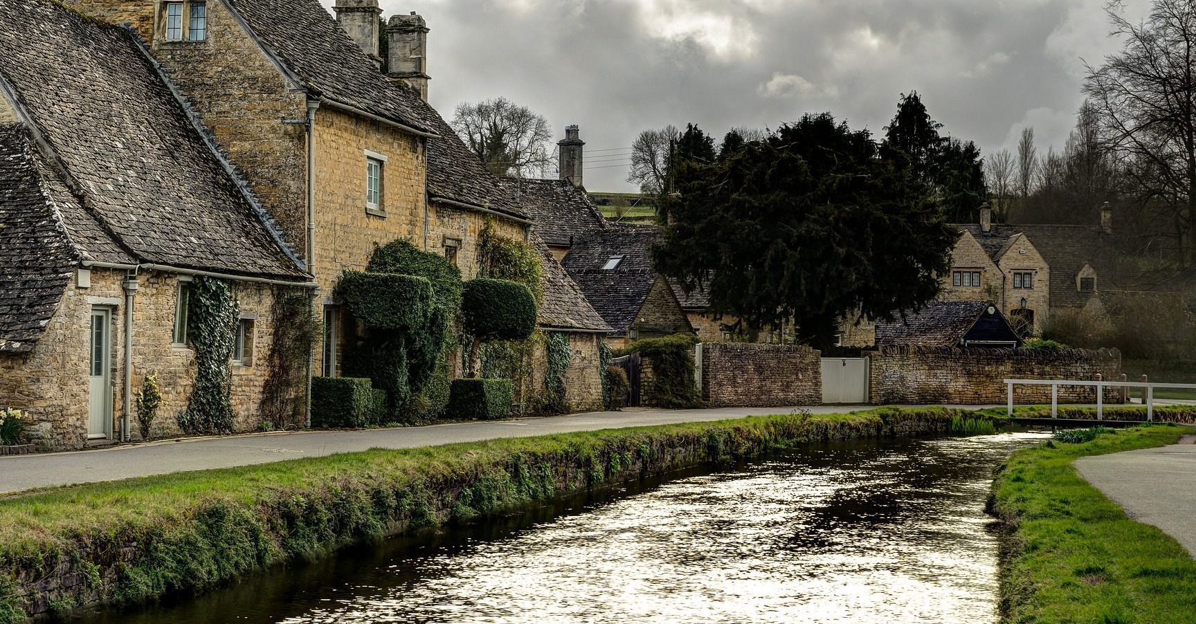
Accommodation is limited and spread out, so booking ahead is essential and itineraries are often dictated by where a bed exists rather than ideal daily distances. The hill towns — Knighton, Llanidloes, Machynlleth, Welshpool — have the most choice; in between, options thin to the occasional pub, B&B or farmhouse. Carry supplies, as shops and food stops can be a long way apart.
Quick answers
How long does Glyndwr's Way take?
Most walkers take around nine days for the full 135 miles. The daily distances are moderate, but the remoteness and the limited accommodation make planning more demanding than the mileage suggests.
Which is the best section?
The high crossing from Llanidloes to Machynlleth over Foel Fadian is the wildest and most rewarding stretch, with the biggest views and the strongest sense of mid-Wales emptiness.
Can you walk it without a car?
The ends and the midpoint are all on the railway — Knighton, Machynlleth and Welshpool — so the trip as a whole is easy by train, but the remote interior has very little public transport, so plan bail-out points in advance.
When is the best time to walk it?
Late spring to early autumn for the longest days and the best chance of dry ground underfoot. This is high, exposed country, so even in summer carry full waterproofs and don't rely on phone signal in the hills.
Train, parking, drive…
- Train
- Knighton (Heart of Wales line from Shrewsbury or Llanelli), 5 min walk to start
- Return
- Welshpool (Cambrian line)
- Parking
- Knighton small village car park; free in side streets
- Postcode
- LD7 1AT
- Drive
- ~4h from London, ~1h45 from Birmingham
- Car-free?
- Easy (Heart of Wales line covers half the route)
Transport details are best-effort and worth double-checking on the day — rural buses and station services change with the timetable.
If you’ve got an extra day…
- Mid Wales Paragliding Centre nearby
- Coed y Brenin MTB on the northern edge
- A welsh-cake stop in Machynlleth
Plan it yourself.
The most authoritative sources we know of for this route — routes, conditions, governing bodies and operators. Open in a new tab.
- Glyndwr's Way - National Trails
- National Trails official body for the 15 long-distance National Trails of England and Wales.
- OS Maps Ordnance Survey for paper sheets and the OS Maps app for route planning.
- Mountain Weather Information Service free upland weather forecasts — the standard reference for British hill walkers.
- Long Distance Walkers Association route database covering hundreds of UK long-distance trails beyond the National Trails network.