Route notes checked June 2026.
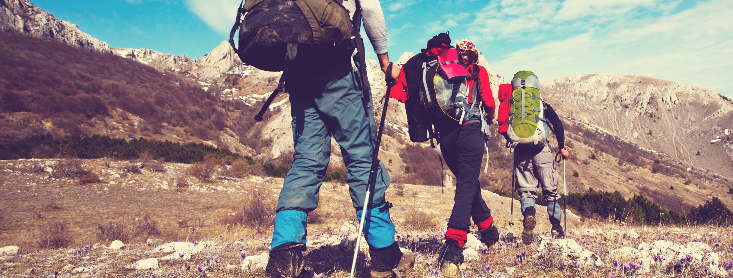
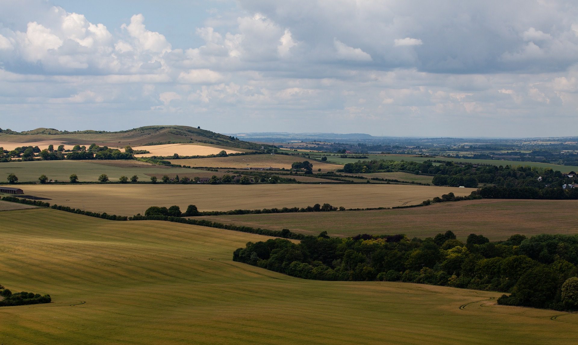
The Ridgeway is Britain’s oldest road. The line of the 87-mile National Trail from Overton Hill in Wiltshire to Ivinghoe Beacon in Buckinghamshire has been walked for at least 5,000 years — an Iron Age and Neolithic trade route that ran along the chalk ridge to keep walkers out of the wooded, wet valleys below. Hill forts, long barrows and white horses dot the route.
What to expect
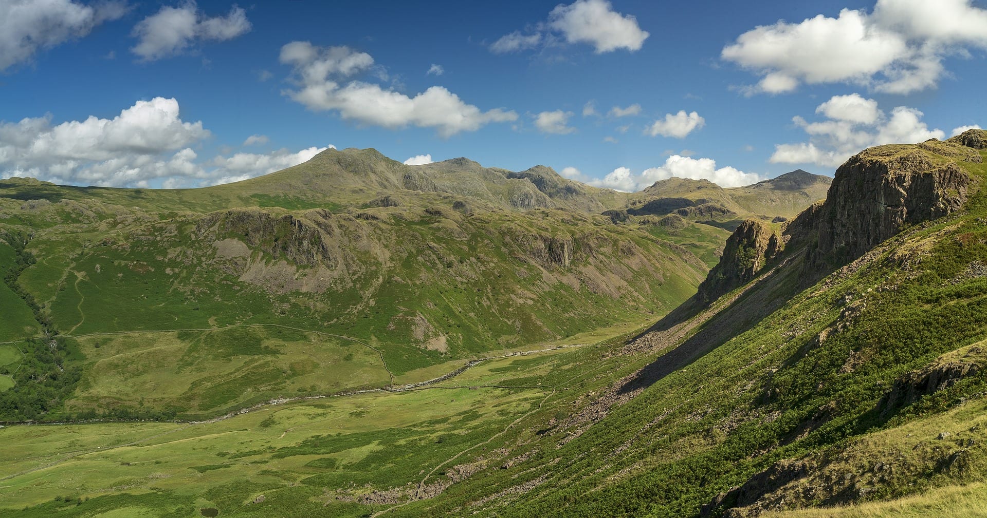
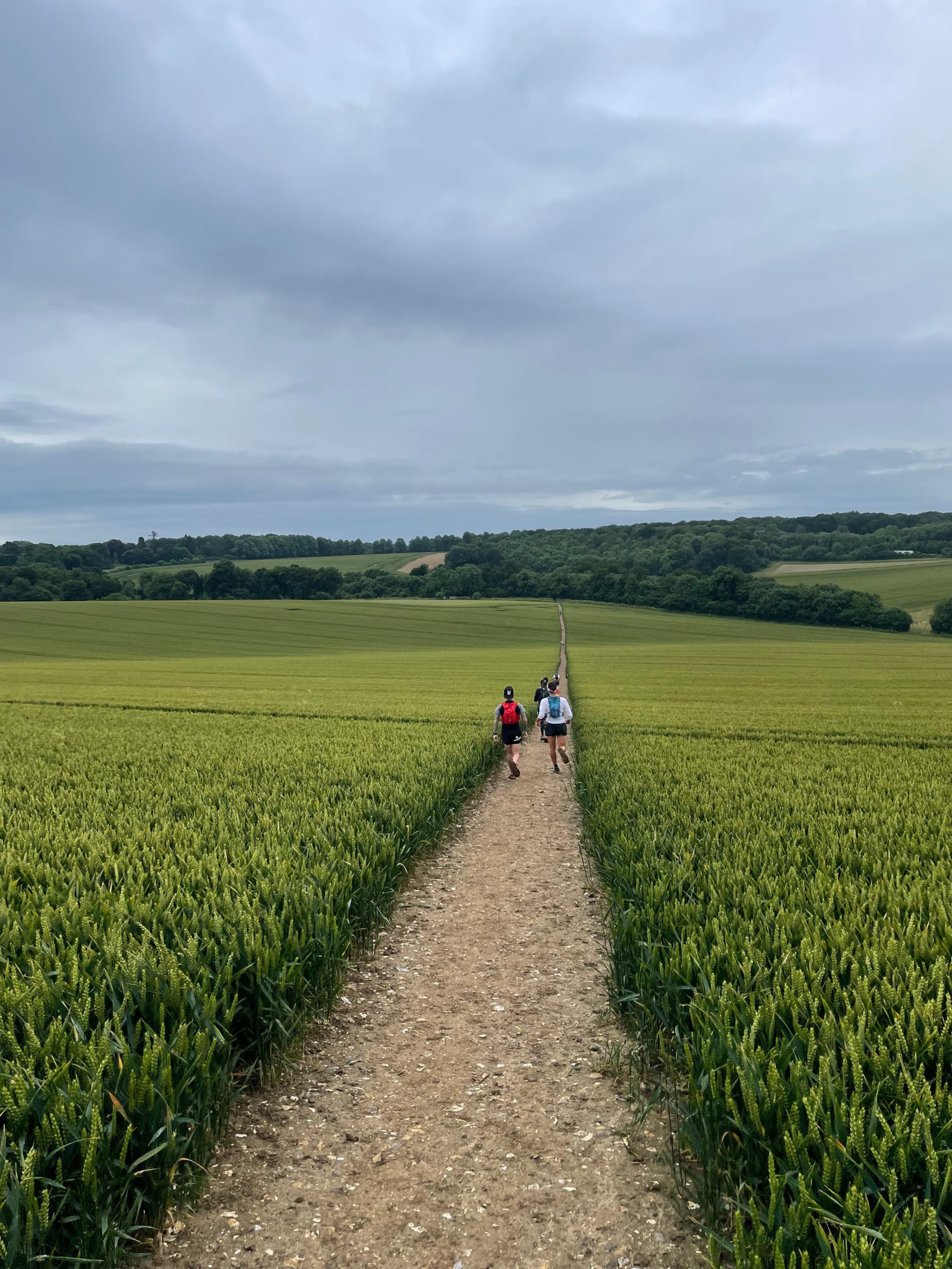
A week of broad, open chalk-track walking. Daily distances are 12-15 miles with very modest ascent — the route stays high on the ridge for most of its length, so the views west across the Vale of the White Horse and east across the Chilterns are constant. Avebury, Uffington White Horse, Wayland’s Smithy, Barbury Castle and Ivinghoe Beacon are the headline historical stops.
Practical notes
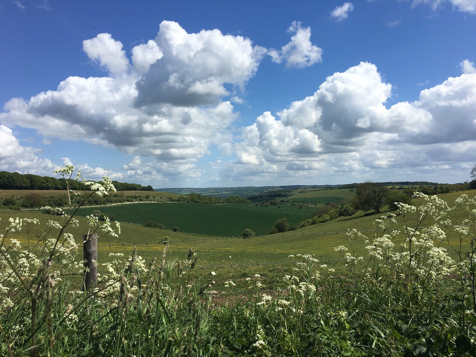
April through October is the practical season; the chalk and flint underfoot are best when dry. Accommodation is spread out — some sections need a 1-2 mile diversion off the ridge to reach a village pub. Carry water in summer; the high path crosses few streams. The first half (Wiltshire/Berkshire) is more remote; the Chilterns half has more facilities. Most walkers go west to east to keep the prevailing weather behind them.
Stage by stage
The Ridgeway follows 87 miles of ancient track — often called Britain's oldest road — from Overton Hill near Avebury in Wiltshire to Ivinghoe Beacon in the Chilterns. The Thames at Goring splits it cleanly in two: open, remote chalk downland to the west, wooded and more populated Chilterns to the east. Broken into natural sections (mileages approximate):
| Section | Distance | Days | Character |
|---|---|---|---|
| Overton Hill to Uffington | ~22 miles | 1–2 | The wide, lonely Marlborough Downs on a broad prehistoric track past Barbury Castle, Wayland's Smithy and the Uffington White Horse — big-sky walking with almost no villages on the ridge. |
| Uffington to Goring | ~20 miles | 1–2 | More high chalk above the Vale of the White Horse, then a long descent to the Thames at Goring & Streatley — the natural midpoint, and the only station on the trail. |
| Goring to Wendover | ~25 miles | 2 | Across the Thames and into the wooded Chilterns: beech hangers, Swyncombe, Watlington and Princes Risborough, with shade, villages and more places to stop. |
| Wendover to Ivinghoe Beacon | ~20 miles | 1–2 | The Chiltern crest over Coombe Hill and through Wendover Woods to the final climb onto Ivinghoe Beacon. |
Doing it car-free
Neither end of the Ridgeway has its own station, which is the main thing to plan around. For the western start, the nearest railhead is Swindon, with a bus or taxi to Avebury and Overton Hill. For the eastern finish, Tring station — on the London Euston line — is a few miles from Ivinghoe Beacon.
The saving grace is the middle. Goring & Streatley station sits exactly where the trail crosses the Thames, with frequent trains to London Paddington, so the Ridgeway divides into two very manageable halves. The Chiltern half is the more rail-friendly, with stations at Goring, Princes Risborough, Wendover and Tring all close to the path.
We ranked every National Trail on reaching it by public transport — find the Ridgeway in our car-free access index.
Where to stay
Accommodation is the Ridgeway's real planning challenge, especially on the western downs, where the trail deliberately keeps to the ridge and away from villages — you often have to drop off the path to find a bed and walk back up the next morning. The Chiltern half is easier, with more villages and pubs close by. Book ahead, and on the dry western downs carry plenty of water, as there are very few sources on the ridge.
Quick answers
How long does the Ridgeway take?
Most walkers take six to eight days for the full 87 miles. It splits naturally at Goring into a western and an eastern half, each a comfortable long weekend.
Which is the best section?
The western downs from Overton Hill to Uffington are the most atmospheric — ancient, open and almost empty, with the White Horse and a string of Bronze Age sites along the way.
Can you walk it without a car?
The ends need a bus from Swindon or a few miles from Tring, but the midpoint station at Goring & Streatley makes walking the Ridgeway in two halves genuinely easy by train.
When is the best time to walk it?
Late spring through early autumn. The chalk track can be heavy with mud and, in places, churned by off-road vehicles after winter rain, so summer and early autumn give the firmest going.
Train, parking, drive…
- Train
- Pewsey or Swindon, then bus/taxi to Overton Hill near Avebury
- Return
- Tring (London Euston line), at the foot of Ivinghoe Beacon
- Parking
- Overton Hill lay-by parking, Avebury National Trust car park
- Postcode
- SN8 1QH
- Drive
- ~1h45 from London
- Car-free?
- Possible (Tring end easy, Avebury end fiddly)
Transport details are best-effort and worth double-checking on the day — rural buses and station services change with the timetable.
If you’ve got an extra day…
Plan it yourself.
The most authoritative sources we know of for this route — routes, conditions, governing bodies and operators. Open in a new tab.
- The Ridgeway - National Trails
- National Trails official body for the 15 long-distance National Trails of England and Wales.
- OS Maps Ordnance Survey for paper sheets and the OS Maps app for route planning.
- Mountain Weather Information Service free upland weather forecasts — the standard reference for British hill walkers.
- Long Distance Walkers Association route database covering hundreds of UK long-distance trails beyond the National Trails network.