Route notes checked June 2026.
The Thames Path follows England's most famous river from its source in the Cotswolds at Kemble all the way to the Thames Barrier in east London — 184 miles of mostly flat, almost entirely waterside walking. It's the only National Trail that finishes inside a capital city, and one of the most consistently accessible long walks in the UK.
What to expect
Two weeks at a steady pace, or split into long weekends with train links at almost every overnight stop. The terrain is gentle: meadow, lock-side, towpath, parkland. The character shifts from chalk-stream Cotswolds in the first three days, through the wealthy commuter belt of Henley and Marlow, then into outer London at Hampton Court and finally the centre — Battersea, Westminster, the City — before reaching the working river at Greenwich and the Barrier.
Practical notes
Walkable year-round; the towpath drains better than upland trails so winter is genuinely fine. Accommodation is plentiful but books up fast in Henley regatta week. The Cotswold sections are remote enough to need planning between meals; central London needs none. Almost flat throughout — the only meaningful ascent is the climb to the official source, a small ridge near Cirencester.
Stage by stage
Most people walk the Thames Path downstream — source to London — so the river grows as you go and the finish line is the Thames Barrier rather than a field in Gloucestershire. Broken into four natural sections it looks like this (mileages are approximate; day counts assume a steady 13–15 miles a day):
| Section | Distance | Days | Character |
|---|---|---|---|
| Kemble (source) to Oxford | ~54 miles | 3–4 | The quiet crux. An infant river through remote water meadows, with the sparsest transport and accommodation of the whole trail — plan this stretch first. |
| Oxford to Reading | ~40 miles | 3 | Classic lock-and-meadow walking through Abingdon, Wallingford and the Goring Gap, where the river cuts between the Chilterns and the Berkshire Downs. |
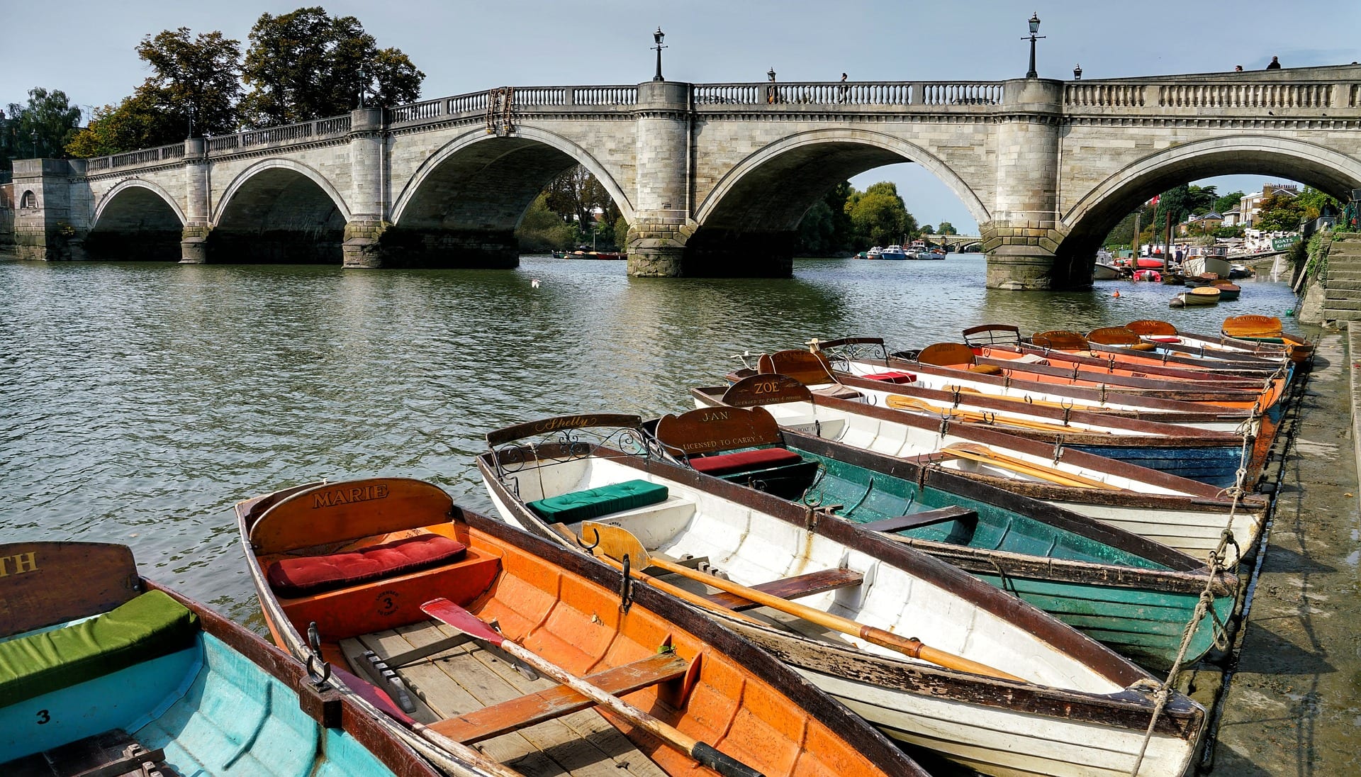
| Reading to Hampton Court | ~50 miles | 3–4 | The regatta river: Henley, Marlow, Cookham, Maidenhead and Windsor. Polished, busy at weekends, and the best-connected section by rail anywhere on the trail. |
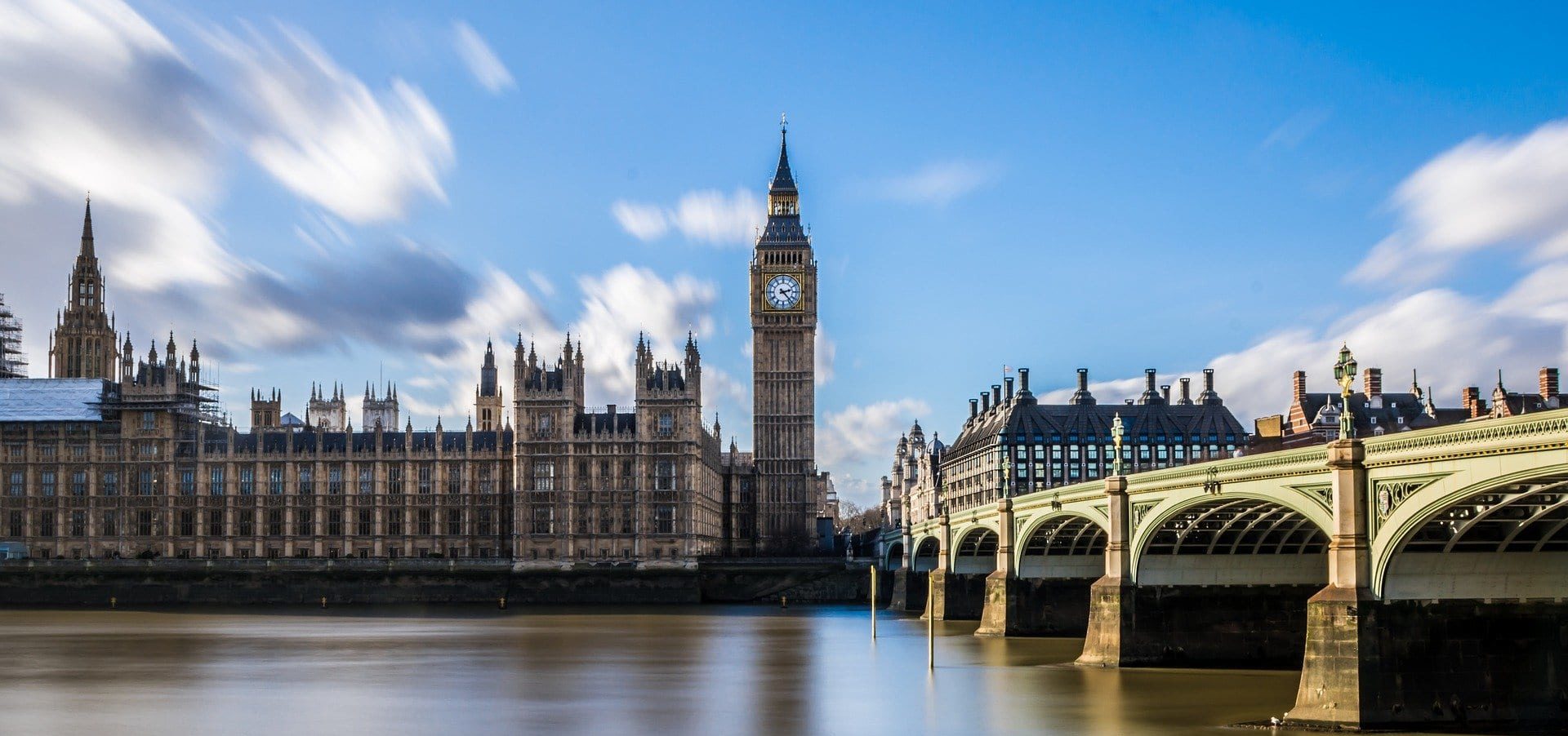
| Hampton Court to the Thames Barrier | ~40 miles | 2–3 | Outer London parkland giving way to the centre — Richmond, Putney, Westminster, the City — then the working river out to Greenwich and the Barrier. |
Doing it car-free
This is the easiest National Trail in Britain to walk without a car — with one caveat. From Oxford downstream you are rarely more than a few miles from a station: the Great Western main line and its branches serve Oxford, Cholsey, Goring & Streatley, Pangbourne, Reading, Henley, Marlow, Maidenhead and Windsor, and from Hampton Court onwards you are on the London transport network. Kemble itself has a station minutes from the source, with direct trains from London Paddington.
The caveat is the upper river: between Kemble and Oxford the railway leaves you, and Cricklade, Lechlade and Newbridge rely on thin rural bus services. If you are walking the trail in day sections by train, do this stretch as a short overnight trip rather than trying to dash it in day hops.
See how the Thames Path measures up against the rest in our car-free National Trails index.
Where to stay
Accommodation is plentiful from Oxford downstream — riverside towns every few miles, with the usual mix of pubs with rooms, B&Bs and hotels. Book ahead for the upper river, where options are genuinely limited, and for Henley in early July when the regatta takes over the town. Campsites exist on the upper and middle river but thin out fast as you approach London.
Quick answers
How long does the Thames Path take?
Around 12–14 days at a steady pace for the full 184 miles. Strong walkers compress it into 8–10 days; most people sensibly do it in sections over a year or two instead.
Which is the best section?
For a single weekend, the Goring Gap and the Pangbourne–Henley stretch get our vote — the prettiest river scenery on the trail with stations at both ends. For drama, the final day through central London is unlike any other National Trail finish.
When should you walk it?
April to October is the safe window. The towpath is walkable year-round, but the upper river floods in wet winters and diversions are common between November and February — check the National Trail website for current closures before a winter trip.
Do you need a map?
Navigation is about as simple as long-distance walking gets — keep the river beside you — but signage gets patchy where the path switches banks, so carry the OS maps for the stretch you are on or the route on your phone.
Train, parking, drive…
- Train
- Kemble (GWR from London Paddington, ~1h20), then 4-mile walk/taxi to Thames Head
- Return
- Woolwich (DLR / Thames Clippers from central London)
- Parking
- Kemble station has limited spaces; long-stay not advised
- Postcode
- GL7 6BB
- Drive
- ~2h from London
- Car-free?
- Easy (entire route is rail-accessible by section)
Transport details are best-effort and worth double-checking on the day — rural buses and station services change with the timetable.
If you’ve got an extra day…
- Wakeup Docklands wakeboarding at the eastern end
- Liquid Leisure near the route at Datchet
- A pub-stop section between Henley and Marlow
Plan it yourself.
The most authoritative sources we know of for this route — routes, conditions, governing bodies and operators. Open in a new tab.
- Thames Path - National Trails
- National Trails official body for the 15 long-distance National Trails of England and Wales.
- OS Maps Ordnance Survey for paper sheets and the OS Maps app for route planning.
- Mountain Weather Information Service free upland weather forecasts — the standard reference for British hill walkers.
- Long Distance Walkers Association route database covering hundreds of UK long-distance trails beyond the National Trails network.