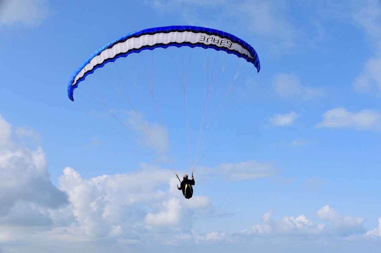
Cloudbusters is based at Tinto Hill in South Lanarkshire, about 30 miles south of Glasgow — one of Scotland’s longest-running paragliding schools and the natural choice for central-Scotland learners. Tinto is a 707m solitary hill on the Clyde Valley plain, which gives it clean prevailing-wind lift from almost every direction.
What to expect
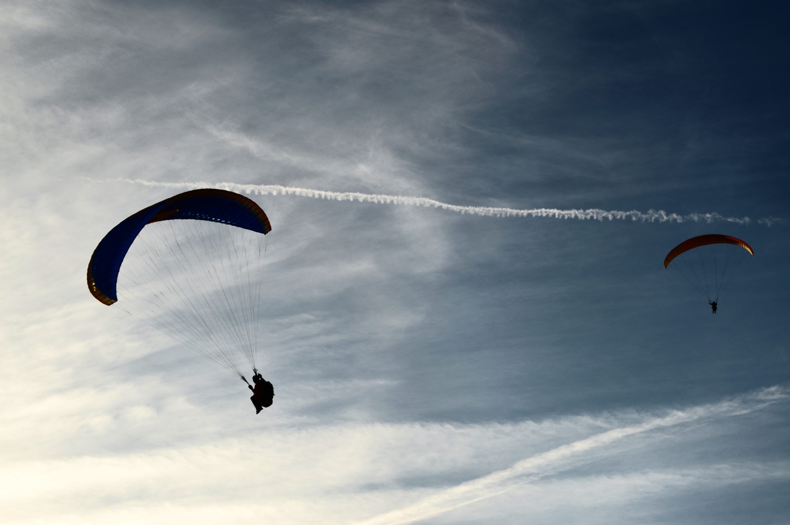
Standard BHPA pathway: tandem flights, Elementary Pilot (4-5 days), Club Pilot continuation. Tinto’s isolated profile makes it an unusually good training site — the lack of surrounding terrain means turbulence is predictable. The school also uses Pentland Hills sites near Edinburgh on days when Tinto isn’t flyable, and Scottish coastal sites for summer thermal flying.
Practical notes
May-September is the practical season for course training; experienced pilots fly year-round on clear days. Lanark, Biggar and Peebles all offer B&B accommodation within easy driving distance of Tinto. Glasgow and Edinburgh are both an hour’s drive. Bring full waterproofs and layers — the hilltop weather can shift dramatically. Scottish midges are a factor June-August; midge nets and repellent are sensible.
Who it suits
Cloudbusters is one of Scotland's longest-running schools and the natural choice for central-Scotland learners, from first-timers to those working toward a licence. Tinto's clean, all-direction lift makes it a forgiving place to learn.
Getting there
The main site is Tinto Hill in South Lanarkshire, around thirty miles south of Glasgow. The nearest stations are Lanark and Carstairs, but the hill itself is reached by road, so a car or a lift from the school is the practical way to get to launch.
Quick answers
Is it good for beginners?
Yes. Tinto's lone hill catches wind from almost any direction, which gives beginners reliable, manageable conditions to start in.
How long does it take to learn?
Elementary takes a few days; the independent Club Pilot rating usually takes a season of weather-dependent flying days.
When is the best time of year?
Spring to autumn for the longest, most reliable flying window, with training booked flexibly around the weather.
Train, parking, drive…
- Train
- Lanark (ScotRail from Glasgow Central, ~50 min), then taxi (~20 min) to Tinto Hill
- Parking
- Tinto Hill car park, pay-and-display
- Postcode
- ML12 6HT
- Drive
- ~6h from London, ~50 min from Glasgow
- Car-free?
- Possible
Transport details are best-effort and worth double-checking on the day — rural buses and station services change with the timetable.
If you’ve got an extra day…
- Glentress MTB an hour east
- West Highland Way Hike from Milngavie an hour north
- Stay in Biggar at the Elphinstone Hotel
Plan it yourself.
The most authoritative sources we know of for this site — routes, conditions, governing bodies and operators. Open in a new tab.
- BHPA British Hang Gliding and Paragliding Association — qualifications and instructor accreditation.
- BHPA Sites Guide flying sites by region and recommended local clubs.
- XCWeather pilot-focused weather forecasts — wind, cloudbase, thermal index.
- RASP UK thermal soaring forecast model used by UK XC pilots.