Route notes checked June 2026.
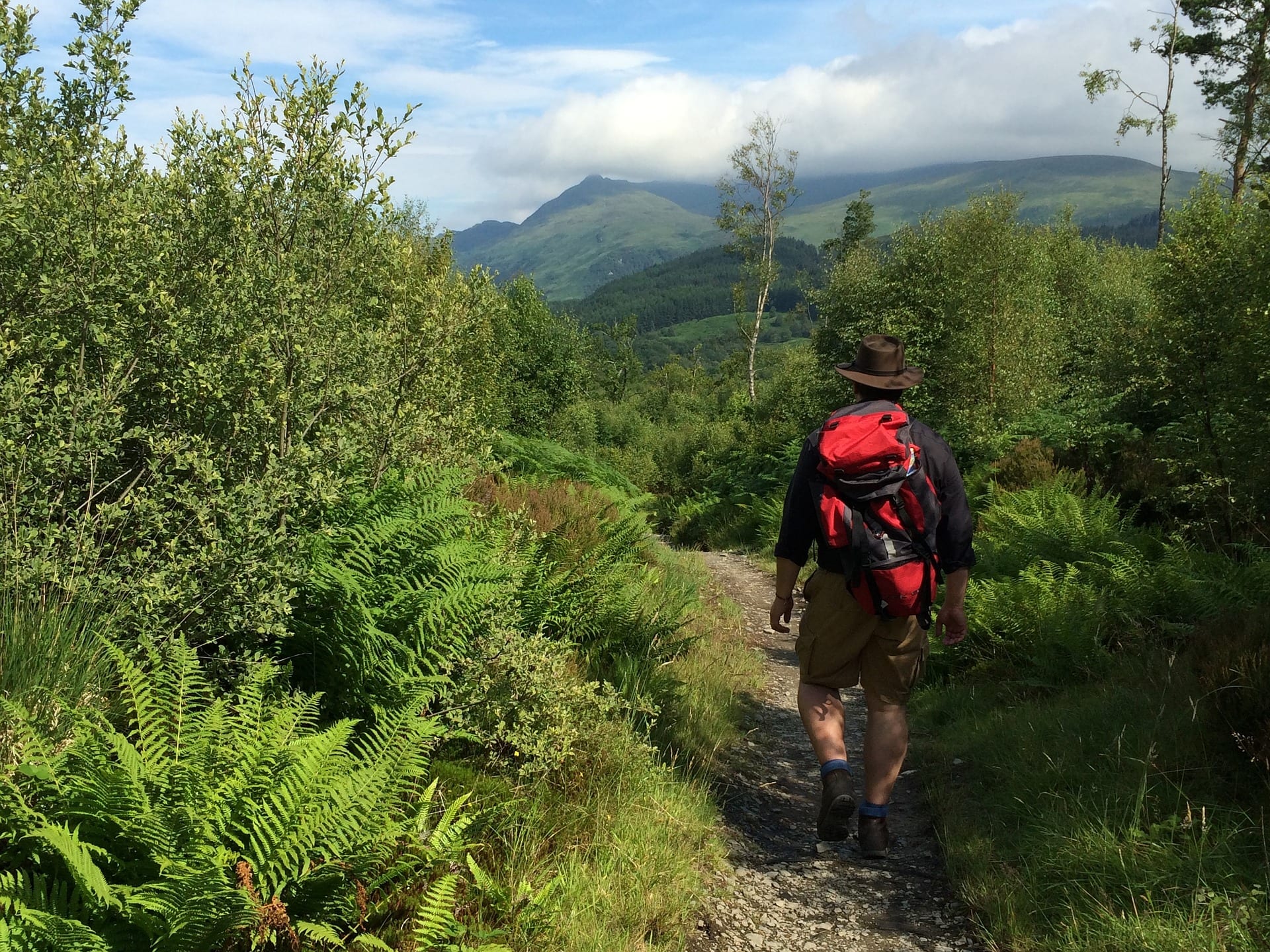
The West Highland Way is Scotland's most-walked long-distance route — 96 miles from Milngavie on the edge of Glasgow to Fort William at the foot of Ben Nevis. It opened in 1980 as Scotland's first official long-distance footpath and remains the natural choice for a first multi-day UK trek.
What to expect
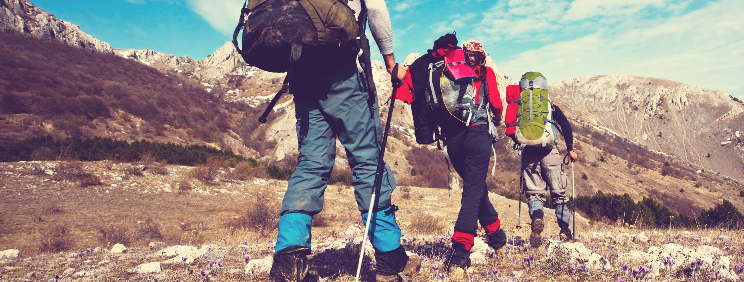
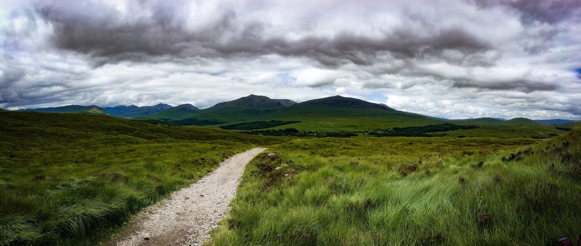
Most people walk it over 6-8 days, averaging 12-16 miles a day. The terrain is generous compared with the Pennine Way: well-graded paths, mostly under 600m elevation, with the genuinely high country reserved for the final stretch over Rannoch Moor and the Devil's Staircase out of Glen Coe. The route follows Loch Lomond's eastern shore, climbs over the Highland Boundary Fault, and finishes in the shadow of Britain's biggest mountain.
Practical notes
April through October is the practical season — May/June for long daylight and fewer midges, September for autumn colour. Wild camping is permitted under Scotland's open-access laws (within reason), though most walkers use the chain of B&Bs, bunkhouses and small hotels along the route. Bag-transfer services run between every overnight stop. Boots, waterproofs and midge repellent are the three essentials.
Stage by stage
Almost everyone walks the West Highland Way south to north, from Milngavie to Fort William, so the walking gets steadily wilder and finishes under Ben Nevis. Broken into natural sections it looks like this (mileages are approximate; day counts assume a steady 12–15 miles a day):
| Section | Distance | Days | Character |
|---|---|---|---|
| Milngavie to Rowardennan | ~27 miles | 2 | An easy start out of Glasgow's northern edge through farmland and forest, over Conic Hill on the Highland Boundary Fault, then down to the wooded southern shore of Loch Lomond — the gentlest of the routes in our guide to hiking in Scotland. |
| Rowardennan to Inverarnan | ~14 miles | 1–2 | The rugged east shore of Loch Lomond: rooty, rocky and slow despite the modest height. The toughest walking on the trail — don't underestimate the day. |
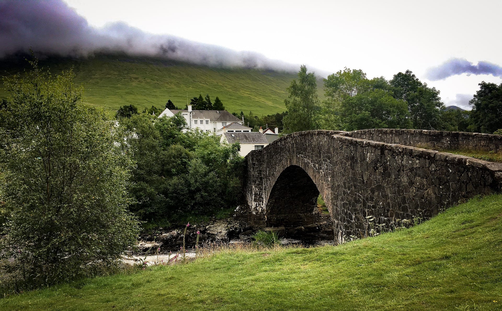
| Inverarnan to Bridge of Orchy | ~19 miles | 2 | Open glens on old drovers' and military roads through Crianlarich and Tyndrum, with the hills opening out and a railway station at each village. |
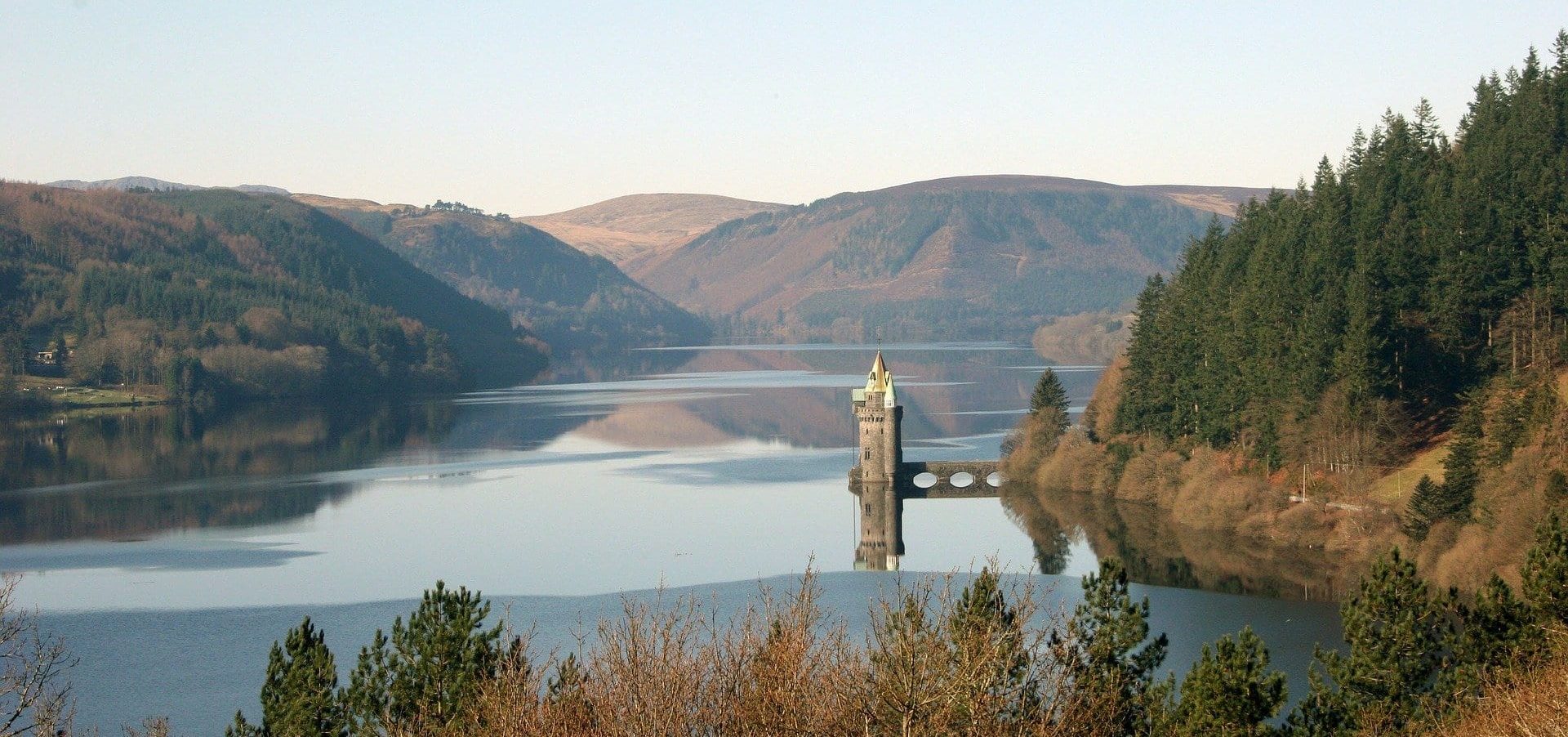
| Bridge of Orchy to Kinlochleven | ~21 miles | 2 | The big country: across the edge of Rannoch Moor, past Kingshouse under Buachaille Etive Mòr, then the climb over the Devil's Staircase — the trail's high point at around 550m — and the long drop into Kinlochleven. |
| Kinlochleven to Fort William | ~15 miles | 1 | A stiff climb back onto the old military road through the Lairig Mòr, then the long run-in to Fort William under Ben Nevis. |
Doing it car-free
The West Highland Way is one of the easiest big mountain trails in Britain to walk without a car. The start at Milngavie is a short, frequent train from Glasgow city centre. Better still, the West Highland railway line shadows much of the route: there are stations on or beside the trail at Crianlarich, Tyndrum (Upper Tyndrum) and Bridge of Orchy, and Ardlui sits just across the head of Loch Lomond — so you can join or leave at several points and walk the trail in sections.
The finish at Fort William is a town with full facilities and its own station. From there the scenic West Highland Line runs back to Glasgow, and the Caledonian Sleeper runs overnight to London Euston (it also calls at Bridge of Orchy), which makes a car-free trip from southern England genuinely practical.
Planning car-free? See how Britain's National Trails compare for rail and bus access in our car-free National Trails index.
Where to stay
Most walkers use the chain of B&Bs, bunkhouses, hostels and small hotels spaced along the route, with bag-transfer services running between overnight stops. Book well ahead for the busy May–June and September windows, when beds at the smaller villages — Rowardennan, Inverarnan, Bridge of Orchy, Kinlochleven — sell out early. Wild camping is allowed under Scotland's access rights, but note that parts of the Loch Lomond east shore fall within a seasonal camping-management zone where a permit is required in the main season; check the current rules before you rely on pitching there.
Quick answers
How long does the West Highland Way take?
Most people take 6–8 days for the full 96 miles. Fit walkers compress it into 5; if you only have a weekend, the northern half from Bridge of Orchy to Fort William is the most rewarding stretch to do on its own.
Which is the best section?
For scenery and drama, the stretch across Rannoch Moor and over the Devil's Staircase out of Glen Coe is the one most people remember. For a gentler taste, the southern shore of Loch Lomond is hard to beat — and easy to reach.
Can you walk it without a car?
Yes, more easily than almost any comparable trail. Trains serve Milngavie at the start and Fort William at the finish, with stations at Crianlarich, Tyndrum and Bridge of Orchy on the route itself, plus the overnight sleeper to and from London.
When is the best time to walk it?
May and June for long daylight and fewer midges, or September for autumn colour and quieter paths. The midge season runs roughly late June to August, when repellent and a head-net earn their place; winter brings real mountain conditions to the northern stages.
Train, parking, drive…
- Train
- Milngavie (ScotRail from Glasgow Queen Street, ~20 min), 5 min walk to start
- Return
- Fort William (West Highland Line back to Glasgow, ~3h45 - one of the world's great rail journeys)
- Parking
- Milngavie limited long-stay; most walkers train in
- Postcode
- G62 6BJ
- Drive
- ~7h from London, ~30 min from Glasgow
- Car-free?
- Easy
Transport details are best-effort and worth double-checking on the day — rural buses and station services change with the timetable.
If you’ve got an extra day…
Plan it yourself.
The most authoritative sources we know of for this route — routes, conditions, governing bodies and operators. Open in a new tab.
- West Highland Way - official site
- National Trails official body for the 15 long-distance National Trails of England and Wales.
- OS Maps Ordnance Survey for paper sheets and the OS Maps app for route planning.
- Mountain Weather Information Service free upland weather forecasts — the standard reference for British hill walkers.
- Long Distance Walkers Association route database covering hundreds of UK long-distance trails beyond the National Trails network.