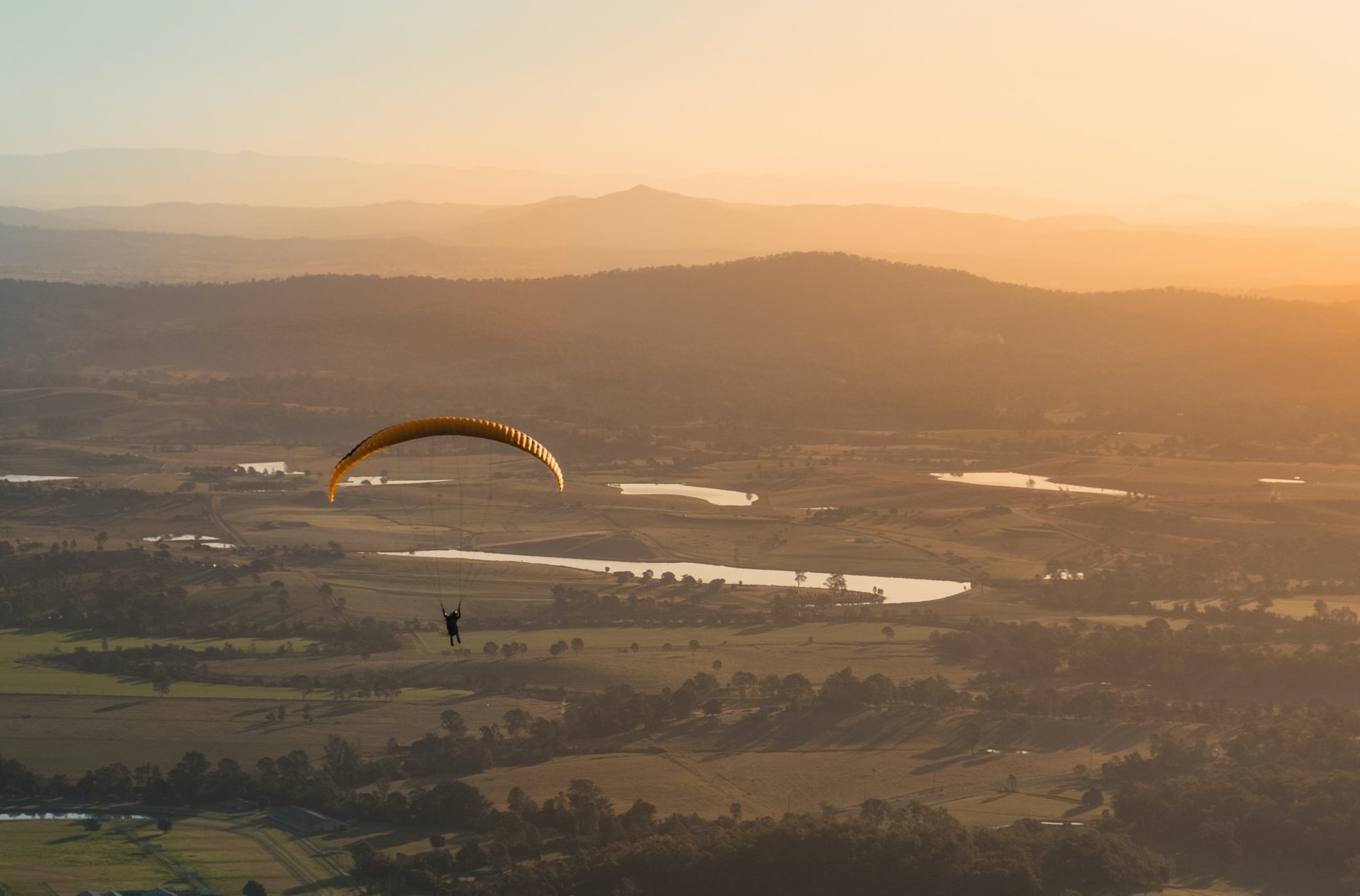
Crickhowell sits at the eastern edge of the Brecon Beacons National Park, where the Usk Valley narrows between the Sugar Loaf and the Black Mountains. It’s the natural base for paragliding in south-east Wales — multiple ridge sites within fifteen minutes’ drive, a strong school presence, and the kind of mid-altitude mountain country that rewards patient flying.
What to expect
Training takes place at several local sites depending on wind direction: Pen-y-Crug for west-to-south-west, the Llangynidr ridge for north-east, the Sugar Loaf for thermal days. The terrain is gentler than the Peak District but more committing than the South Downs — ridge tops sit at 500-700m, with clean lift in the right conditions. Crickhowell-based schools run BHPA Elementary, Club Pilot and beyond.
Practical notes
Most courses run April-October. Crickhowell itself has cafes, good B&Bs and the kind of post-flying pub culture you want at the end of a training day — the Bear Hotel and the Bridge End are both well-established climbers’ and pilots’ pubs. Lessons book ahead, particularly for weekend cohorts in summer. Bring waterproofs and proper boots — the take-off walks involve sheep fields and rocky paths.
Who it suits
Crickhowell sits in the heart of the Brecon Beacons' best ridge country, which makes it a strong base for beginners and progressing pilots alike. The surrounding hills give a choice of sites for building skills in genuine mountain air.
Getting there
Crickhowell is in the Usk valley on the eastern side of the Brecon Beacons. There is no station in the town; the nearest railhead is Abergavenny, a few miles away on the Welsh Marches line, with a car needed to reach the ridge sites.
Quick answers
Is it suitable for beginners?
Yes. Beginner instruction starts on gentle slopes with ground handling before moving to short flights as you progress.
How long does it take to learn?
The BHPA Elementary stage takes a few days; an independent Club Pilot rating usually takes a season of weather-dependent days.
When is the best time of year?
Spring to autumn. Welsh mountain weather is changeable, so flexibility over dates makes a real difference to your flying time.
Train, parking, drive…
- Train
- Abergavenny (Marches line from Newport or Hereford), then bus X43 (~20 min)
- Parking
- School-provided meeting points; on-site at booking
- Postcode
- NP8 1AX
- Drive
- ~3h from London, ~50 min from Cardiff
- Car-free?
- Possible
Transport details are best-effort and worth double-checking on the day — rural buses and station services change with the timetable.
If you’ve got an extra day…
- BikePark Wales 30 min south-west
- Cotswold Way Hike to the east
- Pub at the Bear in Crickhowell
Plan it yourself.
The most authoritative sources we know of for this site — routes, conditions, governing bodies and operators. Open in a new tab.
- BHPA British Hang Gliding and Paragliding Association — qualifications and instructor accreditation.
- BHPA Sites Guide flying sites by region and recommended local clubs.
- XCWeather pilot-focused weather forecasts — wind, cloudbase, thermal index.
- RASP UK thermal soaring forecast model used by UK XC pilots.