Route notes checked June 2026.
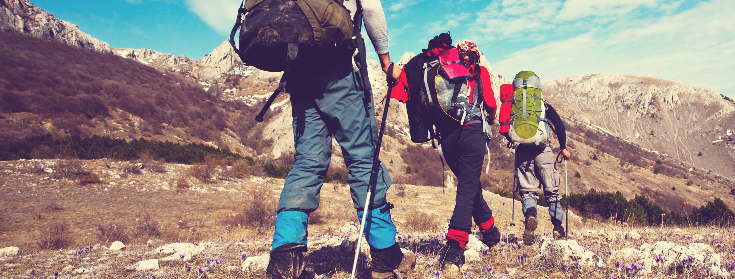
Alfred Wainwright's Coast to Coast Walk crosses 192 miles of northern England from St Bees Head on the Irish Sea to Robin Hood's Bay on the North Sea, taking in three National Parks along the way: the Lake District, the Yorkshire Dales, and the North York Moors. It's not an official National Trail, but it's been one of Britain's most-loved long-distance walks since Wainwright published the guide in 1973.
What to expect
Most walkers take 12-14 days. The Lakeland section in the first third is the toughest — high passes, ridge walks, and the daily possibility of bad weather above 600m. The Dales middle section is gentler limestone country with stone-walled fields and pubs at the end of each day. The North York Moors finale is rolling heather moor and old railway paths down to the coast. Total ascent is around 8,000m.
Practical notes
Walked west to east, as Wainwright intended, so the prevailing weather is at your back. Best months May through September. The 2025 redesignation made the central section an official National Trail; the rest still relies on a network of public rights of way. Bag-transfer and accommodation booking services run the full route, which is the easiest way to handle the logistics.
Stage by stage
Wainwright's Coast to Coast crosses 190 miles of northern England from St Bees on the Irish Sea to Robin Hood's Bay on the North Sea, through the Lake District, the Yorkshire Dales and the North York Moors. Long walked as an unofficial classic, it was officially opened as England's newest National Trail in March 2026. It is walked west to east by tradition, dipping a boot in each sea. Broken into natural sections (mileages approximate):
| Section | Distance | Days | Character |
|---|---|---|---|
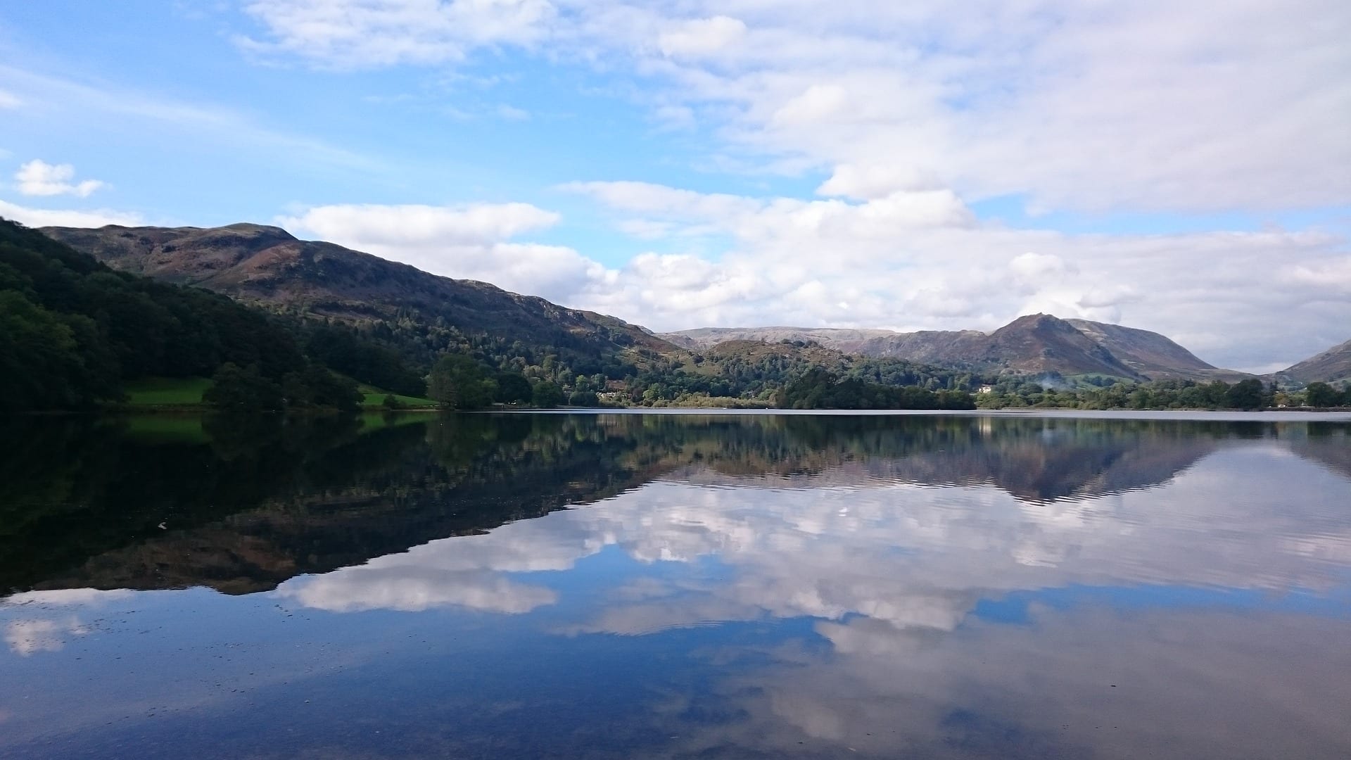
| St Bees to Patterdale | ~55 miles | 4–5 | Straight into the high Lakeland fells — the hardest and most spectacular stretch, crossing Kidsty Pike at around 780m, the high point of the whole walk. |
| Patterdale to Kirkby Stephen | ~33 miles | 2–3 | Past Haweswater and over the quieter eastern fells, down into the limestone of the Eden valley at Kirkby Stephen. |
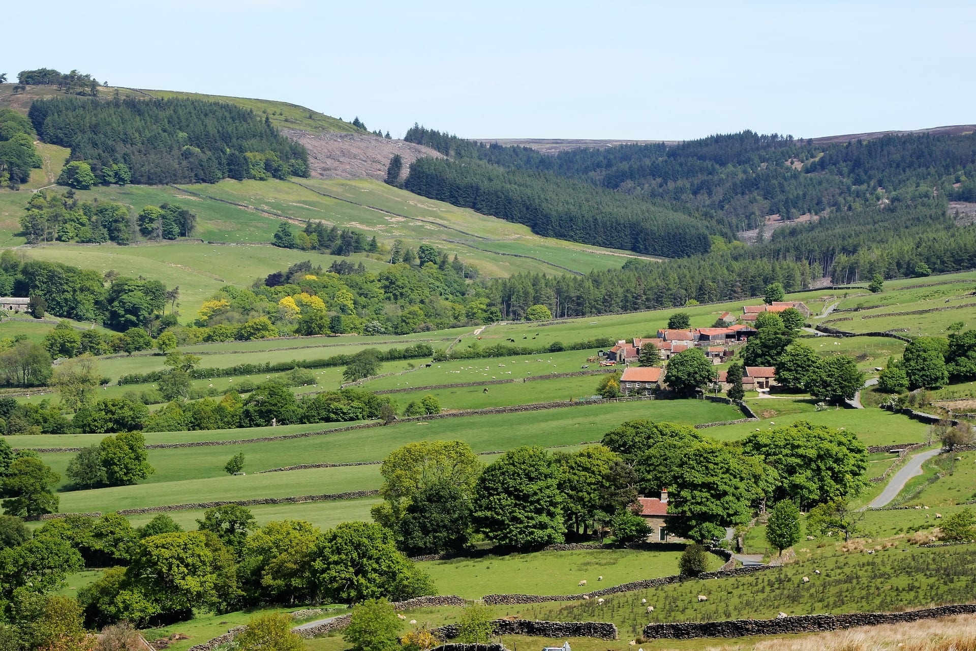
| Kirkby Stephen to Richmond | ~45 miles | 3 | Over the Pennine watershed into the Yorkshire Dales, then the lead-mining country of Swaledale down to the market town of Richmond. |
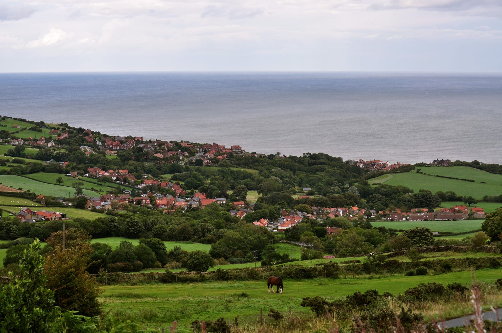
| Richmond to Robin Hood's Bay | ~57 miles | 4 | The flat farmland of the Vale of Mowbray, then a final crossing of the North York Moors to the cliffs and the sea. |
Doing it car-free
The start is easy: St Bees has its own station on the Cumbrian Coast line, a short walk from the beach where the walk begins. The finish is the awkward end — Robin Hood's Bay has no railway, so most people take the bus to Whitby (on the Esk Valley line) or to Scarborough to rejoin the network.
The middle gives you a few useful exit points rather than a continuous parallel line. Kirkby Stephen sits near the Settle–Carlisle railway, and towards the finish the Esk Valley line has stations at Glaisdale and Grosmont a little off the route. Elsewhere it is buses and pre-booked transfers, so plan your section breaks around those few stations.
England's newest National Trail is one of fifteen we scored for car-free access — see the full index.
Where to stay
As one of the most popular long walks in the country, the Coast to Coast is well supplied with B&Bs, pubs, hostels and bunkhouses, and a thriving network of bag-transfer and accommodation-booking services built up over decades. Beds still sell out in summer, especially in the small Lakeland and Swaledale villages, so book early. Now that it is a National Trail, expect waymarking and surfaces to keep improving along the route.
Quick answers
How long does the Coast to Coast take?
Most walkers take 12 to 15 days for the full 190 miles. The Lake District section at the start is the toughest, so the walk eases as it goes rather than building up.
Is the Coast to Coast a National Trail now?
Yes. After a major upgrade it was officially opened as England's newest National Trail in March 2026, which brings improved signage, surfaces and ongoing maintenance to the long-loved Wainwright route.
Can you walk it without a car?
The start at St Bees is on the railway; the finish at Robin Hood's Bay needs a bus to Whitby or Scarborough. In between, Kirkby Stephen and the Esk Valley stations give a few car-free exit points.
When is the best time to walk it?
May, June and September are ideal — the best chance of settled weather over the high Lakeland fells, where the walk is most exposed and most rewarding.
Train, parking, drive…
- Train
- St Bees (Cumbrian Coast line), ~5 min walk to the start cairn
- Return
- Whitby (return via Middlesbrough or Scarborough)
- Parking
- St Bees village pay-and-display; long-stay limited; baggage-transfer services drop cars to Whitby
- Postcode
- CA27 0EN
- Drive
- ~4h from London, ~1h from Carlisle
- Car-free?
- Easy
Transport details are best-effort and worth double-checking on the day — rural buses and station services change with the timetable.
If you’ve got an extra day…
Plan it yourself.
The most authoritative sources we know of for this route — routes, conditions, governing bodies and operators. Open in a new tab.
- Coast to Coast - National Trails
- National Trails official body for the 15 long-distance National Trails of England and Wales.
- OS Maps Ordnance Survey for paper sheets and the OS Maps app for route planning.
- Mountain Weather Information Service free upland weather forecasts — the standard reference for British hill walkers.
- Long Distance Walkers Association route database covering hundreds of UK long-distance trails beyond the National Trails network.