Researched and checked June 2026. Train and bus services change — always confirm current timetables before you travel.
One of the quiet pleasures of a long-distance walk is leaving the car behind entirely: train to the start, walk for days, train home from the finish. But the National Trails vary enormously in how easily you can actually do that. Some begin and end at a station; others strand you miles from the nearest railhead on a thin rural bus.
So we went through all fifteen of the main walking National Trails of England and Wales — some 2,580 miles of path between them — and rated each one on how realistic it is to walk car-free, end to end. Here is the full index.
The car-free access index
“Start” and “Finish” show how you reach each end of the trail by public transport; “along the way” notes the access in between. Ratings are explained further down.
| Trail | Length | Start | Finish | Car-free along the way | Rating |
|---|---|---|---|---|---|
| Cleveland Way | 110 mi | Bus (Helmsley, from York or Malton) | Station (Filey) | The coastal half is well served — Saltburn, Whitby, Scarborough, Filey; the inland moorland half is not. | Moderate |
| Coast to Coast | 190 mi | Station (St Bees) | Bus (Robin Hood’s Bay, from Whitby or Scarborough) | A few mid-route exits — Kirkby Stephen and the Esk Valley line near the finish. | Moderate |
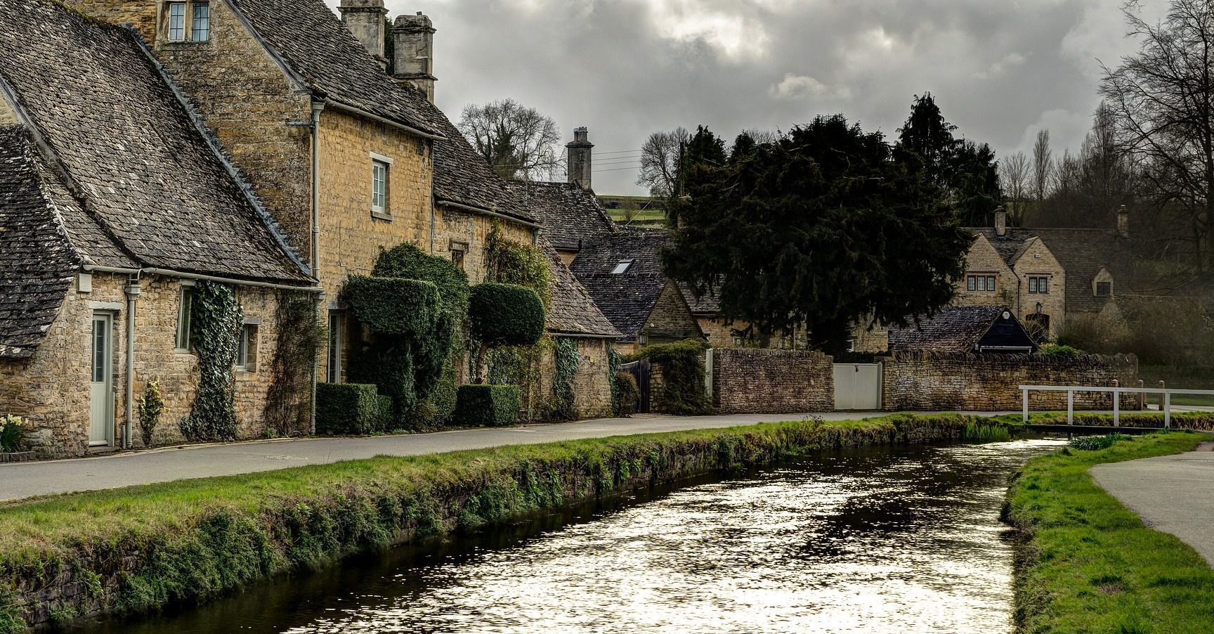
| Cotswold Way | 102 mi | Bus (Chipping Campden, from Moreton-in-Marsh) | Station (Bath Spa) | Cam & Dursley sits on the route; Cheltenham and Stroud are a short bus away. | Good |
| Glyndŵr’s Way | 135 mi | Station (Knighton) | Station (Welshpool) | Both ends and Machynlleth are on the railway, but services are sparse and the interior is remote. | Moderate |
| Hadrian’s Wall Path | 84 mi | Station (Wallsend, Newcastle Metro) | Bus (Bowness, from Carlisle) | The Tyne Valley line runs parallel; the summer AD122 bus serves the central crags. | Good |
| North Downs Way | 153 mi | Station (Farnham) | Station (Dover Priory) | Dense commuter-belt stations close to the path almost the whole way. | Excellent |
| Offa’s Dyke Path | 177 mi | Station (Chepstow) | Station (Prestatyn) | Knighton station sits at the midpoint; the long middle is otherwise sparse. | Good |
| Peddars Way & Norfolk Coast Path | ~96 mi | Taxi or bus (Knettishall Heath) | Taxi (Hopton-on-Sea, from Great Yarmouth) | The coast half has Sheringham and Cromer stations and the year-round Coasthopper bus; the inland Peddars Way half has neither. | Moderate |
| Pembrokeshire Coast Path | 186 mi | Bus (St Dogmaels, from Haverfordwest) | Bus (Amroth, from Kilgetty) | Five seasonal coastal shuttle buses cover most of the path, with stations at Tenby, Pembroke Dock and Fishguard — superb for section walking. | Excellent |
| Pennine Way | 268 mi | Station (Edale) | Bus (Kirk Yetholm, from Berwick-upon-Tweed) | The Settle–Carlisle line gives a handful of central exit points. | Moderate |
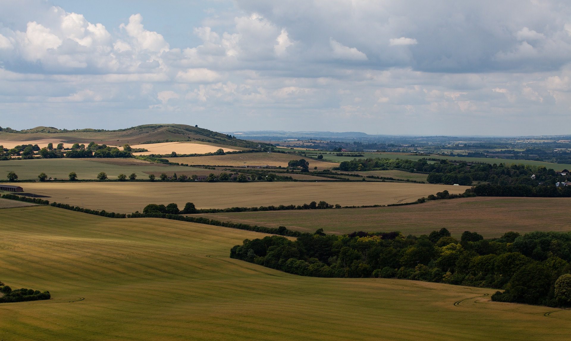
| The Ridgeway | 87 mi | Bus (Overton Hill, from Swindon) | Tring station, a few miles from Ivinghoe Beacon | Goring & Streatley station marks the midpoint; the Chiltern half is well served. | Moderate |
| South Downs Way | 100 mi | Station (Winchester) | Station (Eastbourne) | Amberley and Southease sit on the trail, with more stations close below the ridge. | Excellent |
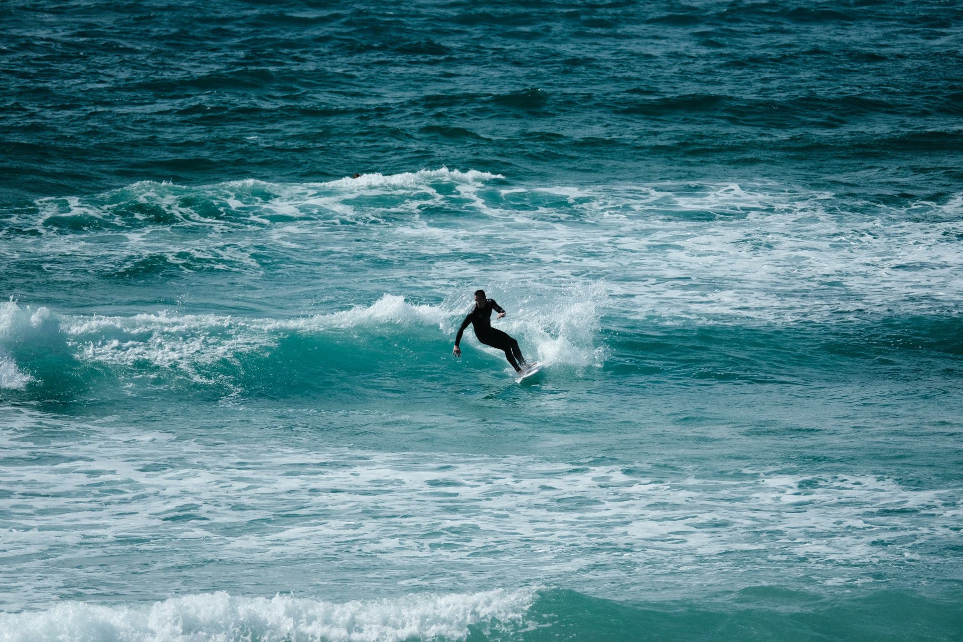
| South West Coast Path | 630 mi | Bus (Minehead, from Taunton) | Ferry and bus (South Haven Point, to Poole) | Coastal branch lines reach the path along its whole length — St Ives, Newquay, Falmouth, Weymouth and more. | Good |
| Thames Path | 184 mi | Station (Kemble) | Station (London transport network) | Near-continuous rail from Oxford downstream; only the upper river is sparse. | Excellent |
| Yorkshire Wolds Way | 79 mi | Station (Hessle) | Station (Filey) | Both ends are on the railway, but there is little public transport across the Wolds interior. | Good |
The most car-free National Trails
Four trails stand out as genuinely easy to walk without a car, with a station at or beside both ends and good access in between. The South Downs Way, the North Downs Way and the Thames Path all run through the rail-rich south-east, so you can step off the train, walk a section, and step back on again almost anywhere along their length. The Pembrokeshire Coast Path earns its place differently: its termini need a short bus, but a fleet of five dedicated coastal shuttle buses covers most of the path, making it arguably the best of all for car-free section walking.
The hardest to do without a car
The trickiest are not always the remotest. Glyndŵr’s Way has a station at both ends and at its midpoint, yet the infrequent services and empty interior make bailing out mid-walk genuinely difficult. The Cleveland Way and the Pennine Way each have one easy end and one awkward one — the Pennine Way finishes at Kirk Yetholm, which has no railway at all, leaving a bus to Berwick-upon-Tweed. And the inland Peddars Way half of the Norfolk trail, away from the Coasthopper bus, is among the least served stretches of any National Trail.
How we rated this
The ratings are deliberately simple and based on facts you can check, not a black-box score. Excellent means a station at or beside both ends and good access along the route, or a dedicated walkers’ bus network covering most of the path. Good means both ends are reachable by public transport — even if one needs a short bus — with some access in between. Moderate means one end is easy and the other needs a bus or taxi, or that mid-route transport is thin enough that you should plan to commit to finishing once you start. We have not invented precise “percentage reachable by rail” figures, because no reliable source for them exists; the index reflects how the trails actually work for a walker without a car.
Quick answers
Which National Trail is easiest to walk without a car?
The South Downs Way, North Downs Way and Thames Path are the easiest, with stations at both ends and frequent access points along the way. The Pembrokeshire Coast Path is the best for car-free section walking thanks to its seasonal coastal bus network.
Which National Trail is hardest to reach by public transport?
Glyndŵr’s Way through mid-Wales is the hardest to walk car-free in practice — remote, with infrequent trains — while the Pennine Way’s finish at Kirk Yetholm has no station at all.
Can you walk the South West Coast Path without a car?
Yes. Although the very start at Minehead and the finish at Poole Harbour need a bus or ferry connection, coastal branch-line stations reach the path along its entire 630 miles, which is what makes section-walking it so practical.
Do any National Trails have a dedicated walkers’ bus?
Yes. The Pembrokeshire Coast Path has five seasonal coastal shuttles, the Norfolk Coast Path has the year-round Coasthopper, and Hadrian’s Wall Path has the summer AD122 service along the central wall.
We will keep this index updated as services change. Spotted something out of date, or a connection we have missed? We would like to hear about it.